18 Garden Parade, Liversedge, WF15 6LX
About 18 Garden Parade
18 Garden Parade is a semi-detached house in Liversedge (WF15 6LX). It has a recorded floor area of 78 m² (around 840 sq ft), construction records dating it to 1930-1949 and council tax band A. The latest certificate (May 2021) shows a D (score 63), on the cusp of jumping into the C band. The recommended improvements would lift it to B (score 83), a 2-band jump.
Today's modelled estimate of £159,000 sits 92.7% above the 2021 sale of £82,500. Last sale on file: £82,500 in June 2021. That sale was during the post-pandemic price surge, when transactions cleared materially above pre-2020 trend.
Know exactly what you're buying at 18 Garden Parade
Before you offer, see what the listing won't tell you, the true value, the red flags and the full history.
Launch offer · save £5
Valuation
against the asking price
Risks
planning & flood
Sold prices
similar homes nearby
Trends
the local market
Energy performance
Recommended upgrades on file would lift this property by multiple EPC bands.
EPC Rating
Planning history
18 Garden Parade has no planning applications on record.
The full report still covers planning activity across the surrounding area.
Sales history & valuation
The latest sale landed in the post-pandemic price surge — useful context when reading the figure.
£159,000
Modelled from EPC, postcode comparables.
£82,500
Recorded with HM Land Registry.
Sales timeline
29 June 2021Most recent
£82,500
Median price across the last 5 sales in WF15 6LX: £100,000 (2024–2012).
Nearby sales in WF15 6LX
Everything we know about 18 Garden Parade, in one report
What it's really worth, what could be wrong, and the planning, sales and area data in full.
- Am I paying too much?
- Is something wrong with it?
- Is the agent's story true?
- Will it hold its value?

Versus other Garden Parade homes
18 Garden Parade is notably below the street on co₂ emissions.
Price per m²
£1,058
Street avg £1,299
Floor Area
78 m²
Street avg 66 m²
Habitable Rooms
4 rooms
Street avg 4 rooms
CO₂ Emissions
3.9 t/year
Street avg 2.6 t/year
Similar properties nearby
The neighbourhood at a glance
Daytime road noise here sits well below conversation level — a quiet pocket of the postcode.
Crime
3/mo
Steady year-on-year across the wider district.
Nearest stop
0.2 km
Reuben Street — bus stop.
Closest school
0.2 km
Littletown Junior Infant and Nursery School. 26 schools nearby.
Go deeper on the local area
The full report breaks down crime, transport links, schools and air quality in depth.
Road noise across the postcode
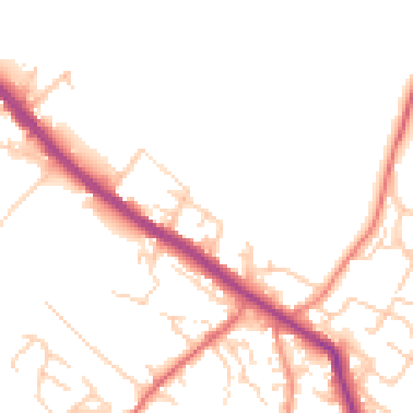
Daytime· 07:00 – 23:00
49.7dB

Night-time· 23:00 – 07:00
40.7dB