340 Bradford Road, Liversedge, WF15 6BY
About 340 Bradford Road
340 Bradford Road is a three-bedroom end-of-terrace house in Liversedge (WF15 6BY). It has a recorded floor area of 78 m² (around 840 sq ft), construction records dating it to 1900-1929 and council tax band A. The latest certificate (October 2021) shows an E (score 48), well below the UK norm with real room to improve. The rating has held steady at E across 2 certificates since May 2009. Between certificates, window efficiency went from Average to Good and lighting went from Very Poor to Very Good. The recommended improvements would lift it to C (score 72), a 2-band jump. Other recorded features include a basement.
Across 1997–2012, sale prices on this property compounded at 3.6% per year. Today's modelled estimate of £155,000 sits 115.3% above the 2012 sale of £72,000. On a £-per-square-foot basis, the last sale (£86/sq ft) was about 23.1% below the postcode norm. It lags the bulk of the postcode on energy efficiency (less efficient than 82% of similar EPCs). Last sold in July 2012, so it's been off the market for around 14 years.
Know exactly what you're buying at 340 Bradford Road
Before you offer, see what the listing won't tell you, the true value, the red flags and the full history.
Launch offer · save £5
Valuation
against the asking price
Risks
planning & flood
Sold prices
similar homes nearby
Trends
the local market
What this property has
Inside
- Bedrooms3
- Bathrooms1
- Dining roomYes
- Utility roomYes
- BasementYes
Outside
- Private gardenfront_and_rear
- Parkingoff_street
Energy performance
Recommended upgrades on file would lift this property by multiple EPC bands.
EPC Rating
Property Improvements
Changes detected from historical EPC data
Heating controls upgraded for better temperature management
Window efficiency improved
More low energy lighting installed
Planning history
340 Bradford Road has no planning applications on record.
The full report still covers planning activity across the surrounding area.
Sales history & valuation
340 Bradford Road's estimated value is more than triple its earliest registered sale price (1997).
£155,000
Modelled from EPC, postcode comparables and a sale-price growth of 3.6% per year over 15 years.
£72,000
Growth on file: 3.6% per year over 15 years.
Sales timeline
5 July 2012Most recent
£72,000
+46.9%over 11 years3 August 2000
£49,000
+14.0%over 2 years14 November 1997
£43,000
Median price across the last 5 sales in WF15 6BY: £148,500 (2025–2018).
Nearby sales in WF15 6BY
Everything we know about 340 Bradford Road, in one report
What it's really worth, what could be wrong, and the planning, sales and area data in full.
- Am I paying too much?
- Is something wrong with it?
- Is the agent's story true?
- Will it hold its value?

Versus other Bradford Road homes
340 Bradford Road is notably below the street on price per m².
Price per m²
£923
Street avg £1,635
Floor Area
78 m²
Street avg 86 m²
Habitable Rooms
4 rooms
Street avg 5 rooms
CO₂ Emissions
5.3 t/year
Street avg 4.3 t/year
Similar properties nearby
1 Firthcliffe View
WF15 6AQ
1 Eddercliffe Crescent
WF15 6LR
1 Churchfield Terrace
WF15 6LH
1 Firthcliffe Grove
WF15 6AH
1 Arnold Street
WF15 6LQ
1 Edward Street, Knowler Hill
WF15 6PJ
1 Barker Street
WF15 6JN
1 Edward Street, Little Town
WF15 6EH
The neighbourhood at a glance
Crime
3/mo
Steady year-on-year across the wider district.
Nearest stop
0.1 km
Ings Road — bus stop.
Closest school
0.4 km
Millbridge, A Share Primary Academy. 25 schools nearby.
Go deeper on the local area
The full report breaks down crime, transport links, schools and air quality in depth.
Road noise across the postcode
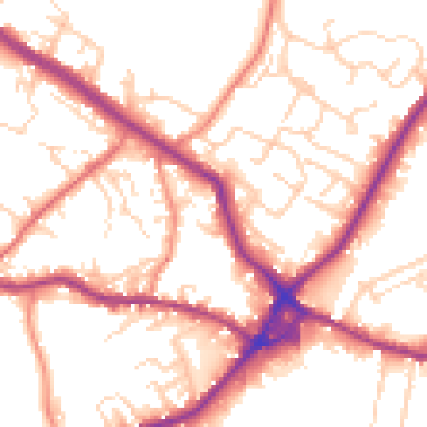
Daytime· 07:00 – 23:00
53.9dB

Night-time· 23:00 – 07:00
44.3dB