9 Saxton Street, Liversedge, WF15 6AD
About 9 Saxton Street
9 Saxton Street is a semi-detached house in Liversedge (WF15 6AD). It has a recorded floor area of 102 m² (around 1098 sq ft), construction records dating it to 1930-1949 and council tax band A. The latest certificate (July 2015) shows a C (score 71). When first surveyed in February 2015 the rating was E, the property has climbed 2 bands since. Between certificates, wall efficiency went from Poor to Good, roof efficiency went from Very Poor to Good and lighting went from Average to Good. The recommended improvements would push it to B (score 83). The latest certificate is from July 2015, so improvements made since then won't be reflected.
Sold August 2019 for £125,000. Across the public record there are 4 sales, relatively high churn for a single property. At 102 m² it's 20.8% larger than the typical home in the postcode (84 m² median across 5 EPCs). Across 1998–2019, sale prices on this property compounded at 6.7% per year. Today's modelled estimate of £174,000 is 39.2% above the 2019 sale price. One historical planning record sits against the property in 2006.
Know exactly what you're buying at 9 Saxton Street
Before you offer, see what the listing won't tell you, the true value, the red flags and the full history.
Launch offer · save £5
Valuation
against the asking price
Risks
planning & flood
Sold prices
similar homes nearby
Trends
the local market
Energy performance
EPC Expired
This certificate is over 10 years old and is no longer valid.Expired 07 Jul 2025
EPC Rating
Property Improvements
Changes detected from historical EPC data
More low energy lighting installed
Heating controls upgraded for better temperature management
Cavity wall insulation installed
Roof insulation improved
Planning history
Council records include a two-storey extension at 9 Saxton Street.
- Jan 2006ExtensionFullIn report
Extension: Two storey
ERECTION OF TWO STOREY EXTENSION
- Documents
- 15 docs on file
- Reference
- 2005/94682
What's in 9 Saxton Street, Liversedge, WF15 6AD's planning history?
Refusals, disputes and full decisions on this property and nearby, in the report.
Sales history & valuation
9 Saxton Street has more than tripled in price since its earliest registered sale in 1998.
£174,000
Modelled from EPC, postcode comparables and a sale-price growth of 6.7% per year over 21 years.
£125,000
Growth on file: 6.7% per year over 21 years.
Sales timeline
11 August 2019Most recent
£125,000
+62.3%over 14 years7 January 2005
£77,000
+105.3%over 3 years24 May 2001
£37,500
+13.8%over 2 years27 November 1998
£32,950
Median price across the last 5 sales in WF15 6AD: £80,000 (2020–2007).
Everything we know about 9 Saxton Street, in one report
What it's really worth, what could be wrong, and the planning, sales and area data in full.
- Am I paying too much?
- Is something wrong with it?
- Is the agent's story true?
- Will it hold its value?

Versus other Saxton Street homes
On floor area, 9 Saxton Street stands well clear of the street.
Price per m²
£1,225
Street avg £1,174
Floor Area
102 m²
Street avg 83 m²
Habitable Rooms
6 rooms
Street avg 5 rooms
CO₂ Emissions
3.6 t/year
Street avg 3.7 t/year
Similar properties nearby
The neighbourhood at a glance
Crime
3/mo
Steady year-on-year across the wider district.
Nearest stop
0.0 km
Leeds Road Almondroyd — bus stop.
Closest school
0.6 km
Millbridge, A Share Primary Academy. 30 schools nearby.
Go deeper on the local area
The full report breaks down crime, transport links, schools and air quality in depth.
Road noise across the postcode
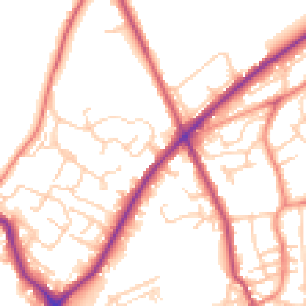
Daytime· 07:00 – 23:00
52.9dB

Night-time· 23:00 – 07:00
43.0dB