Are you a property professional?Get qualified leads from motivated homeowners.
Get started17 Brunswick Drive, Dewsbury, WF13 4NG
Extendable
About 17 Brunswick Drive
A plain-English summary derived from public records, EPC certificates, sold prices and local data.
17 Brunswick Drive is a two-bedroom end-of-terrace house in Dewsbury (WF13 4NG). It has a recorded floor area of 78 m² (around 840 sq ft), construction records dating it to 1900-1929 and council tax band B. The latest certificate (March 2016) shows an E (score 50), well below the UK norm with real room to improve. The recommended improvements would lift it to B (score 84), a 3-band jump. The latest certificate is from March 2016, so improvements made since then won't be reflected. Our model identifies extension potential, subject to local planning policy.
Sale prices here have outpaced England HPI: 6.2% per year against 0% for the wider region. Today's modelled estimate of £135,000 sits 64.6% above the 2017 sale of £82,000. On a £-per-square-foot basis, the last sale (£98/sq ft) was about 22.4% below the postcode norm. On the market in June 2017 and unlisted since — roughly 9 years. One historical planning record sits against the property in 2017.
What this property has
Pulled from EPC certificates, claim submissions and our property model. Empty categories are hidden — we only show what's known.
Inside
- Bedrooms2
Building
- Extension potentialPossible
Energy performance
Every EPC certificate filed against this property — current rating, recorded improvements, and where there's headroom to reach a higher band.
Recommended upgrades on file would lift this property by multiple EPC bands.
EPC Expired
This certificate is over 10 years old and is no longer valid.Expired 09 Mar 2026
Planning history
Applications and permits filed against 17 Brunswick Drive, Dewsbury, WF13 4NG, sourced from the PlanIt planning register.
- Nov 2017Change Of UseFullGranted
Change of use from dwelling to pre school
Sales history & valuation
Recorded transactions, our model's current estimate, and a quick read on what neighbouring properties have sold for.
17 Brunswick Drive has more than doubled in price since the earliest registered sale in 2000.
Current estimate
See how we calculated this£135,000
Modelled from EPC, postcode comparables and a sale-price growth of 6.2% per year over 17 years.
Last sold (2017)
£82,000
Growth on file: 6.2% per year over 17 years.
Sales timeline
Versus other Brunswick Drive homes
Four headline reads against 8 similar houses on this street, drawn from the latest EPC and Land Registry data.
On price per m², 17 Brunswick Drive runs well behind the street norm.
Price per m²
£1,051
Street avg £1,556
Floor Area
78 m²
Street avg 104 m²
Habitable Rooms
4 rooms
Similar properties nearby
A handful of close matches in the same postcode area, ranked by likeness on bedrooms, type and floor area.
The neighbourhood at a glance
A condensed read of the local area. Each tile links through to the full breakdown on the Dewsbury district page.
Crime
6/mo
Steady year-on-year across the wider district.
Nearest stop
0.2 km
Staincliffe Rd Reservoir Street — bus stop.
Road noise across the postcode
Modelled day and night-time noise levels around WF13 4NG from Defra's strategic mapping. The pin marks this postcode's centroid.
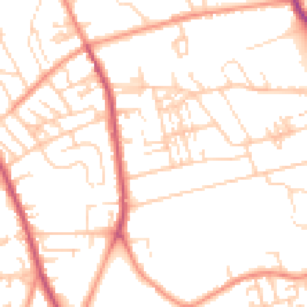
Daytime· 07:00 – 23:00
50.7dB

Everything within walking distance
Schools, transport stops and scenic spots near this property — 71 points of interest in total.
Beautiful places to visit nearby
Curated scenic spots within reach of this postcode, served by Beautifulplaces.ai. Photography and tagging come from their open dataset.
Common questions
The questions buyers, sellers and homeowners most often ask about 17 Brunswick Drive, Dewsbury, WF13 4NG. Each answer is also embedded as structured data for search engines.