26 Womersley Road, Knottingley, WF11 0DB
About 26 Womersley Road
A plain-English summary derived from public records, EPC certificates, sold prices and local data.
26 Womersley Road is a three-bedroom semi-detached house in Knottingley (WF11 0DB). It has a recorded floor area of 85 m² (around 915 sq ft), construction records dating it to 1950-1966 and council tax band A. The latest certificate (November 2019) shows a D (score 63), on the cusp of jumping into the C band. The recommended improvements would push it to C (score 77). Other recorded features include attached land beyond the plot.
Today's modelled estimate of £175,000 is 32.1% above the 2021 sale price. On a £-per-square-foot basis, the last sale (£145/sq ft) was about 64.5% above the typical sold price in the postcode. Most recent transfer: January 2021 at £132,500. That sale was during the post-pandemic price surge, when transactions cleared materially above pre-2020 trend.
What this property has
Pulled from EPC certificates, claim submissions and our property model. Empty categories are hidden — we only show what's known.
Inside
- Bedrooms3
- Bathrooms1
Outside
- Private gardenYes
- Garage
Energy performance
Every EPC certificate filed against this property — current rating, recorded improvements, and where there's headroom to reach a higher band.
EPC Rating
A
B
C
D
D63
E
F
G
Main Heating
Gas
Main Fuel
Gas
Hot Water
Good
Windows
Good
CO2 Emissions
4.1 t/year
Occupancy
Owner Occupied
Planning history
Applications and permits filed against 26 Womersley Road, Knottingley, WF11 0DB, sourced from the PlanIt planning register.
No planning applications are recorded against 26 Womersley Road, Knottingley, WF11 0DB. The full report also covers planning activity across the surrounding area.
Full planning data for 26 Womersley Road, Knottingley, WF11 0DB
Every application and decision on this property and nearby, in full, in the report.
Sales history & valuation
Recorded transactions, our model's current estimate, and a quick read on what neighbouring properties have sold for.
The latest sale landed in the post-pandemic price surge — useful context when reading the figure.
Current estimate
See how we calculated this£175,000
Modelled from EPC, postcode comparables.
Last sold (2021)
£132,500
Recorded with HM Land Registry.
Sales timeline
Launch offer · 33% off
The complete analysis of 26 Womersley Road, Knottingley, WF11 0DB
Everything we know about this property, compiled into one in-depth, downloadable report.
Detailed analysis
A written breakdown of everything that matters
Versus other Womersley Road homes
Four headline reads against 12 similar houses on this street, drawn from the latest EPC and Land Registry data.
Price per m²
£1,559
Street avg £1,418
Floor Area
85 m²
Street avg 98 m²
Habitable Rooms
5 rooms
Street avg 5 rooms
Similar properties nearby
A handful of close matches in the same postcode area, ranked by likeness on bedrooms, type and floor area.
The neighbourhood at a glance
A condensed read of the local area. Each tile links through to the full breakdown on the Knottingley district page.
Crime
5/mo
Steady year-on-year across the wider district.
Nearest stop
0.1 km
Womersley Road Broomhill Ave — bus stop.
Road noise across the postcode
Modelled day and night-time noise levels around WF11 0DB from Defra's strategic mapping. The pin marks this postcode's centroid.
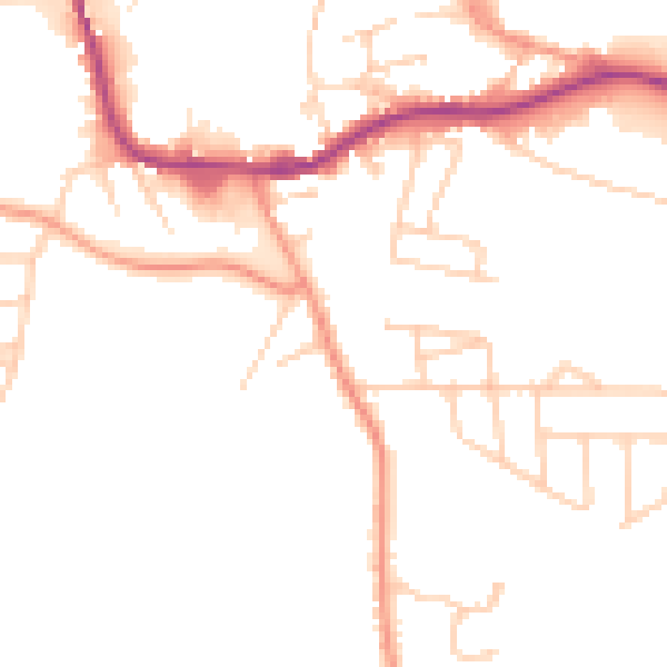
Daytime· 07:00 – 23:00
50.4dB

Everything within walking distance
Schools, transport stops and scenic spots near this property — 37 points of interest in total.
Common questions
The questions buyers, sellers and homeowners most often ask about 26 Womersley Road, Knottingley, WF11 0DB. Each answer is also embedded as structured data for search engines.
