5 Ashdown Drive, Borehamwood, WD6 4LZ
About 5 Ashdown Drive
5 Ashdown Drive is a mid-terrace house in Borehamwood (WD6 4LZ). It has a recorded floor area of 73 m² (around 786 sq ft), construction records dating it to 1967-1975 and council tax band C. At 73 m² this is the 11th smallest of 24 units on EPC record in the building, where floor areas span 65–95 m². The building's EPC ratings span E to C, with this unit at the top. The latest certificate (September 2019) shows a C (score 70).
Untraded for 25 years, with the last transfer in March 2001. Only one transfer is on record with HM Land Registry, suggesting it has stayed in the same hands for a long time. Today's modelled estimate of £298,000 sits 189.3% above the 2001 sale of £103,000. On a £-per-square-foot basis, the last sale (£131/sq ft) was about 35.2% below the postcode norm.
Know exactly what you're buying at 5 Ashdown Drive
Before you offer, see what the listing won't tell you, the true value, the red flags and the full history.
Valuation
against the asking price
Risks
planning & flood
Sold prices
similar homes nearby
Trends
the local market
Energy performance
EPC Rating
Planning history
5 Ashdown Drive has no planning applications on record.
Notable planning nearby
1applications of note in the surrounding area
Sales history & valuation
5 Ashdown Drive valuation sits well clear of the typical sold price in this postcode.
£298,000
Modelled from EPC, postcode comparables.
£103,000
Recorded with HM Land Registry.
Sales timeline
29 March 2001Most recent
£103,000
Median price across the last 5 sales in WD6 4LZ: £319,000 (2025–2021).
Nearby sales in WD6 4LZ
Everything we know about 5 Ashdown Drive, in one report
What it's really worth, what could be wrong, and the planning, sales and area data in full.
- Am I paying too much?
- Is something wrong with it?
- Is the agent's story true?
- Will it hold its value?

Versus other Ashdown Drive homes
On price per m², 5 Ashdown Drive runs well behind the street norm.
Price per m²
£1,411
Street avg £3,031
Floor Area
73 m²
Street avg 74 m²
Habitable Rooms
4 rooms
Street avg 4 rooms
CO₂ Emissions
2.7 t/year
Street avg 2.8 t/year
Similar properties nearby
The neighbourhood at a glance
Rail-style transport is unusually close for this postcode.
Crime
4/mo
Steady year-on-year across the wider district.
Nearest stop
0.2 km
Croxdale Road — bus stop.
Closest school
0.6 km
Meryfield Primary School. 16 schools nearby.
Go deeper on the local area
The full report breaks down crime, transport links, schools and air quality in depth.
Road noise across the postcode
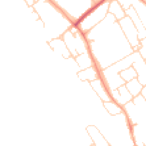
Daytime· 07:00 – 23:00
45.1dB

Night-time· 23:00 – 07:00
36.7dB