1 Colne Avenue, Mill End, Rickmansworth, WD3 8BS
About 1 Colne Avenue
1 Colne Avenue is a semi-detached house in Mill End, Rickmansworth, Rickmansworth (WD3 8BS). It has a recorded floor area of 89 m² (around 958 sq ft), construction records dating it to 1930-1949 and council tax band D. The latest certificate (July 2019) shows a D (score 61), on the cusp of jumping into the C band. The recommended improvements would lift it to B (score 81), a 2-band jump.
Know exactly what you're buying at 1 Colne Avenue
Before you offer, see what the listing won't tell you, the true value, the red flags and the full history.
Already flagged here
Valuation
against the asking price
Risks
planning & flood
Sold prices
similar homes nearby
Trends
the local market
Energy performance
Recommended upgrades on file would lift this property by multiple EPC bands.
EPC Rating
Planning history
1 Colne Avenue has no planning applications on record.
Notable planning nearby
1applications of note in the surrounding area
We flagged 1 thing worth checking at 1 Colne Avenue
Independent checks surfaced things a buyer would want to understand before offering. The report explains each one in full, with the underlying data and what to ask.
- Larger development activity nearby
30-day money-back guarantee
Sales history & valuation
1 Colne Avenue has no Land Registry sales on file, suggesting it has stayed in the same hands since registration began.
£528,000
Modelled from EPC, postcode comparables.
No sales recorded with HM Land Registry
That can mean the property has never traded since the registry began publishing in 1995, was a new build that hasn't been registered yet, or is held in the same hands long-term.
Median price across the last 5 sales in WD3 8BS: £497,000 (2024–2019).
Nearby sales in WD3 8BS
25 Colne Avenue, Mill End, Rickmansworth, WD3 8BS
Sold Nov 2024
£645,0003 Colne Avenue, Mill End, Rickmansworth, WD3 8BS
Sold Dec 2023
£460,00034 Colne Avenue, Mill End, Rickmansworth, WD3 8BS
Sold May 2021
£485,0004 Colne Avenue, Mill End, Rickmansworth, WD3 8BS
Sold Dec 2019
£500,00032 Colne Avenue, Mill End, Rickmansworth, WD3 8BS
Sold Nov 2019
£497,000
Everything we know about 1 Colne Avenue, in one report
What it's really worth, what could be wrong, and the planning, sales and area data in full.
What we flagged
- Larger development activity nearby

Versus other Colne Avenue homes
EPC Rating
61 (D)
Street avg 61 (D)
Floor Area
89 m²
Street avg 98 m²
CO₂ Emissions
4.4 t/year
Street avg 4.6 t/year
Habitable Rooms
5 rooms
Street avg 5 rooms
Similar properties nearby
1 Hall Close, Mill End
WD3 8US
1 Ashleys
WD3 8JU
1 Chalk Dell, Orchard Way, Mill End
WD3 8AD
1 Grove Road, Mill End
WD3 8EB
1 Horwood Close
WD3 8RS
1 Gade Villas, Uxbridge Road
WD3 8XA
1 Cressend
WD3 8WB
1 Curtis Close, Mill End
WD3 8QA
The neighbourhood at a glance
Crime
8/mo
Steady year-on-year across the wider district.
Nearest stop
0.1 km
Hall Close — bus stop.
Closest school
0.3 km
Shepherd Primary. 12 schools nearby.
Go deeper on the local area
The full report breaks down crime, transport links, schools and air quality in depth.
Road noise across the postcode
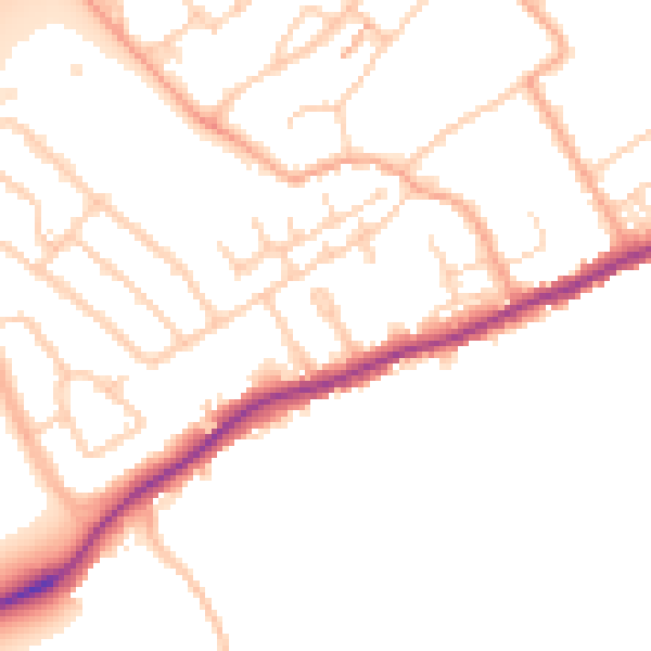
Daytime· 07:00 – 23:00
51.3dB

Night-time· 23:00 – 07:00
43.1dB