The Old Farmhouse, Farm Road, Chorleywood, Rickmansworth, WD3 5QB
About The Old Farmhouse
The Old Farmhouse is a property in Chorleywood, Rickmansworth, Rickmansworth (WD3 5QB). It has council tax band H.
6 planning records sit against the property, 0 approved, 3 refused.
Energy performance
No EPC on record
This property doesn't have an Energy Performance Certificate yet. An EPC is required to sell or let — and unlocks our automated valuation.
Planning history
The Old Farmhouse has 2 separate extension applications on the council record.
- Mar 2021OutlineIn report
Certificate of Lawfulness for proposed installation of underfloor heating system
- Agent
- JCPC Ltd
- Documents
- 6 docs on file
- Reference
- PL/21/0326/SA
- Oct 2016ExtensionFullIn report
Erection of single storey outbuilding to facilitate pool and sun lounge, alterations to existing outbuilding and infill to boundary wall
- Agent
- JCPC Ltd
- Documents
- 13 docs on file
- Reference
- CH/2016/0825/FA
Sales history & valuation
No sales recorded with HM Land Registry
That can mean the property has never traded since the registry began publishing in 1995, was a new build that hasn't been registered yet, or is held in the same hands long-term.
Median price across the last 1 sales in WD3 5QB: £540,000 (2011–2011).
Nearby sales in WD3 5QB
Similar properties nearby
1 Allbrook House, 55 Lower Road, Chorleywood
WD3 5LA
1 Appletree Dell, Dog Kennel Lane, Chorleywood
WD3 5EN
1 Arklow Court, Station Approach, Chorleywood
WD3 5NF
1 Badgers Dell, Chorleywood
WD3 5FE
1 Badgers Walk, Chorleywood
WD3 5GA
1 Bedford Court, Chorleywood
WD3 5FJ
1 Beechwood Avenue, Chorleywood
WD3 5RL
1 Beechwood Cottages, Heronsgate Road, Chorleywood
WD3 5BW
The neighbourhood at a glance
Daytime road noise here sits well below conversation level — a quiet pocket of the postcode.
Crime
8/mo
Steady year-on-year across the wider district.
Nearest stop
0.7 km
Chalfont Lane — bus stop.
Closest school
0.6 km
The Russell School. 7 schools nearby.
Road noise across the postcode
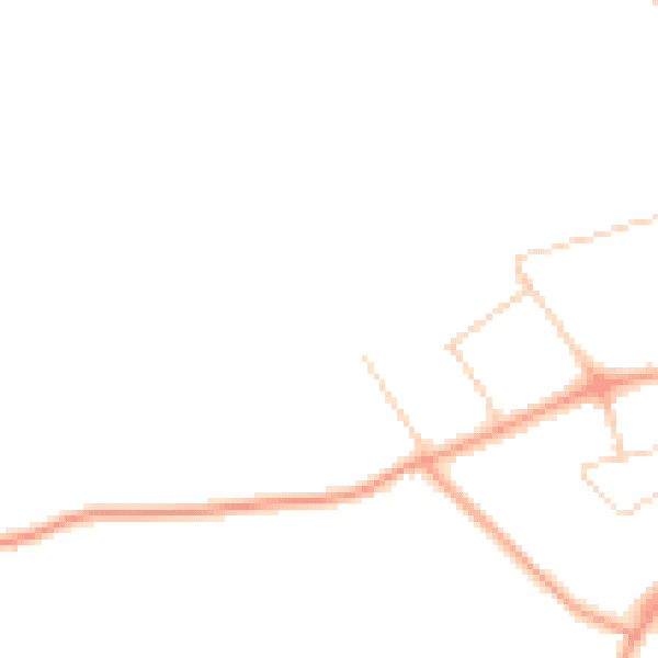
Daytime· 07:00 – 23:00
42.6dB

Night-time· 23:00 – 07:00
35.8dB