150 High Street, Rickmansworth, WD3 1BA
About 150 High Street
150 High Street is a mid-terrace house in Rickmansworth (WD3 1BA). It has a recorded floor area of 63 m² (around 678 sq ft), construction records dating it to before 1900 and council tax band D. The latest certificate (March 2017) shows a D (score 60), on the cusp of jumping into the C band. The recommended improvements would lift it to B (score 83), a 2-band jump.
6 planning records sit against the property, 5 approved, 1 refused. Past consents include an extension, a porch and a loft conversion, meaningful when judging how the property has evolved. Across 2004–2017, sale prices on this property compounded at 5.1% per year. On a £-per-square-foot basis, the last sale (£661/sq ft) was about 111% above the typical sold price in the postcode. Last sold in September 2017, so it's been off the market for around 9 years. At 63 m² it's 28.4% smaller than the typical home in the postcode (88 m² median across 11 EPCs).
Know exactly what you're buying at 150 High Street
Before you offer, see what the listing won't tell you, the true value, the red flags and the full history.
Already flagged here
Valuation
against the asking price
Risks
planning & flood
Sold prices
similar homes nearby
Trends
the local market
Energy performance
Recommended upgrades on file would lift this property by multiple EPC bands.
EPC Rating
Planning history
150 High Street has been through 5 approved planning applications — a well-evolved property.
- Nov 2024AmendmentIn report
Part-retrospective Joint Application: Replacement of roof tiles and installation of front rooflights.
Retrospective- Documents
- 21 docs on file
- Reference
- 24/1397/RSP
- Oct 2019PorchFullIn report
Extension: Single storey · Rear of property
Joint Application: Combined ground floor single storey rear extensions to numbers 150 and 152 High Street, Rickmansworth and new porch to no. 152
Extension- Documents
- 30 docs on file
- Reference
- 19/1724/FUL
We flagged 1 thing worth checking at 150 High Street
Independent checks surfaced things a buyer would want to understand before offering. The report explains each one in full, with the underlying data and what to ask.
- Larger development activity nearby
30-day money-back guarantee
Sales history & valuation
150 High Street valuation sits well clear of the typical sold price in this postcode.
£472,000
Modelled from EPC, postcode comparables and a sale-price growth of 5.1% per year over 14 years.
£448,000
Growth on file: 5.1% per year over 14 years.
Sales timeline
21 September 2017Most recent
£448,000
+90.6%over 12 years18 September 2005
£235,000
+3.5%over 1 year16 January 2004
£227,000
Median price across the last 5 sales in WD3 1BA: £470,000 (2024–2018).
Nearby sales in WD3 1BA
172a, High Street, Rickmansworth, WD3 1BA
Sold Nov 2024
£400,000170b, High Street, Rickmansworth, WD3 1BA
Sold Dec 2021
£470,000162 164, High Street, Rickmansworth, WD3 1BA
Sold Aug 2019
£620,000158 High Street, Rickmansworth, WD3 1BA
Sold Aug 2019
£499,106152 High Street, Rickmansworth, WD3 1BA
Sold Apr 2018
£444,000
Everything we know about 150 High Street, in one report
What it's really worth, what could be wrong, and the planning, sales and area data in full.
What we flagged
- Larger development activity nearby

Versus other High Street homes
150 High Street is notably below the street on floor area.
Price per m²
£7,111
Street avg £5,160
Floor Area
63 m²
Street avg 86 m²
Habitable Rooms
4 rooms
Street avg 4 rooms
CO₂ Emissions
3.8 t/year
Street avg 4.5 t/year
Similar properties nearby
1 Centennial Court, High Street
WD3 1AW
1 Millennium Wharf, Wharf Lane
WD3 1AZ
1 High Street
WD3 1ET
1 Fellowes House, Caravan Lane
WD3 1FT
1 Moor Farm Bungalow, Sandy Lodge Road
WD3 1LW
1 Cloisters Court, The Cloisters
WD3 1FE
1, Batchworth Heath
WD3 1QB
1 Bury Meadows
WD3 1DR
The neighbourhood at a glance
Rail-style transport is unusually close for this postcode.
Crime
8/mo
Steady year-on-year across the wider district.
Nearest stop
0.1 km
Rickmansworth Underground Station — subway entrance.
Closest school
0.6 km
Saint Joan of Arc Catholic School. 14 schools nearby.
Go deeper on the local area
The full report breaks down crime, transport links, schools and air quality in depth.
Road noise across the postcode
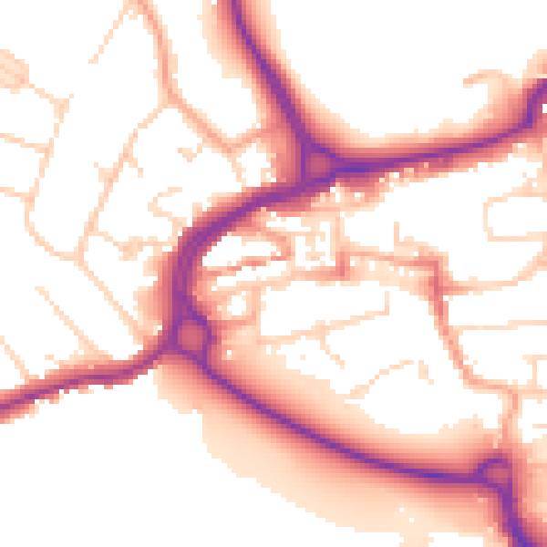
Daytime· 07:00 – 23:00
54.0dB

Night-time· 23:00 – 07:00
45.2dB