19 Parsonage Road, Rickmansworth, WD3 1AE
About 19 Parsonage Road
19 Parsonage Road is a three-bedroom semi-detached house in Rickmansworth (WD3 1AE). It has a recorded floor area of 116 m² (around 1253 sq ft), construction records dating it to 1900-1929 and council tax band F. The latest certificate (November 2011) shows an E (score 40), well below the UK norm with real room to improve. The latest certificate is from November 2011, so improvements made since then won't be reflected. Period features are noted in the property record.
4 planning records sit against the property, 1 approved, 0 refused. Past consents include an extension, meaningful when judging how the property has evolved. At 116 m² it's 24.5% larger than the typical home in the postcode (94 m² median across 6 EPCs). Across 1999–2012, sale prices on this property compounded at 8.2% per year. Today's modelled estimate of £723,000 is 22.5% above the 2012 sale price. On a £-per-square-foot basis, the last sale (£471/sq ft) was about 22.6% above the typical sold price in the postcode. Last sold in April 2012, so it's been off the market for around 14 years.
Know exactly what you're buying at 19 Parsonage Road
Before you offer, see what the listing won't tell you, the true value, the red flags and the full history.
Already flagged here
Valuation
against the asking price
Risks
planning & flood
Sold prices
similar homes nearby
Trends
the local market
What this property has
Inside
- Bedrooms3
- Dining roomYes
- Utility roomYes
- CloakroomYes
- EnsuiteYes
Outside
- Private gardenSouth-facing
- DrivewayYes
Building
- Period featuresYes
- RefurbishedYes
Energy performance
19 Parsonage Road's carbon output runs well above what efficient homes in the postcode produce.
EPC Expired
This certificate is over 10 years old and is no longer valid.Expired 13 Nov 2021
EPC Rating
Planning history
19 Parsonage Road has an approved side and rear extension on the planning record.
- Jul 2024Tree WorksTreesIn report
Swamp Cypress Tree at the bottom of our garden. Last cut back with permission in 2020. The tree is very large and overhangs into neighbours gardens - they are complaining about the size and the light it blocks from their gardens.We would like to reduce the crown by 2-3 meters.
- Documents
- 6 docs on file
- Reference
- 24/1014/TCA
- Oct 2020Tree WorksTreesIn report
Swamp Cyprus - crown reduction of 30%, 1.5 m off the spread and 2 m off the height.
- Documents
- 6 docs on file
- Reference
- 20/1872/TCA
We flagged 1 thing worth checking at 19 Parsonage Road
Independent checks surfaced things a buyer would want to understand before offering. The report explains each one in full, with the underlying data and what to ask.
- Larger development activity nearby
30-day money-back guarantee
Sales history & valuation
19 Parsonage Road has more than doubled in price since the earliest registered sale in 1999.
£723,000
Modelled from EPC, postcode comparables and a sale-price growth of 8.2% per year over 13 years.
£590,000
Growth on file: 8.2% per year over 13 years.
Sales timeline
1 April 2012Most recent
£590,000
+47.5%over 8 years24 March 2004
£400,000
+81.8%over 4 years9 September 1999
£220,000
Median price across the last 5 sales in WD3 1AE: £602,500 (2024–2018).
Nearby sales in WD3 1AE
9 Parsonage Road, Rickmansworth, WD3 1AE
Sold Oct 2024
£650,00011 Parsonage Road, Rickmansworth, WD3 1AE
Sold Nov 2019
£640,0005 Parsonage Road, Rickmansworth, WD3 1AE
Sold Feb 2018
£602,5007 Parsonage Road, Rickmansworth, WD3 1AE
Sold Feb 2017
£437,50015 Parsonage Road, Rickmansworth, WD3 1AE
Sold Jul 2016
£825,000
Everything we know about 19 Parsonage Road, in one report
What it's really worth, what could be wrong, and the planning, sales and area data in full.
What we flagged
- Larger development activity nearby

Versus other Parsonage Road homes
19 Parsonage Road is notably below the street on price per m².
Price per m²
£5,068
Street avg £6,793
Floor Area
116 m²
Street avg 98 m²
Habitable Rooms
5 rooms
Street avg 5 rooms
CO₂ Emissions
9.8 t/year
Street avg 6.0 t/year
Similar properties nearby
1 Heron Lodge, Wharf Lane
WD3 1GF
1 Bury Mews, Bury Lane
WD3 1FR
1 Fortune Cottage, Park Road
WD3 1HT
1 Landford Close
WD3 1NG
1 Fellowes House, Caravan Lane
WD3 1FT
1 Crane Lodge, Wharf Lane
WD3 1GG
1 Juniper Gate
WD3 1NT
1 Moor Farm Bungalow, Sandy Lodge Road
WD3 1LW
The neighbourhood at a glance
Rail-style transport is unusually close for this postcode.
Crime
8/mo
Steady year-on-year across the wider district.
Nearest stop
0.1 km
Rickmansworth Underground Station — subway entrance.
Closest school
0.6 km
Saint Joan of Arc Catholic School. 14 schools nearby.
Go deeper on the local area
The full report breaks down crime, transport links, schools and air quality in depth.
Road noise across the postcode
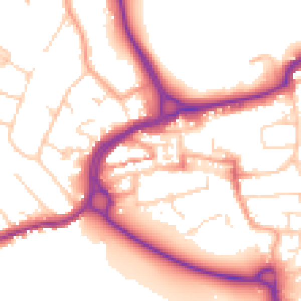
Daytime· 07:00 – 23:00
53.9dB

Night-time· 23:00 – 07:00
45.0dB