Horwood Court, Flat 12, 75 Hillrise Avenue, Watford, WD24 7NG
About Horwood Court
Horwood Court is a property in Watford (WD24 7NG). It has a recorded floor area of 39 m² (around 420 sq ft). At 39 m² this is the 8th smallest of 28 units on EPC record in Horwood Court, where floor areas span 31–73 m². The building's EPC ratings span D to C, with this unit at the top. The latest certificate (June 2016) shows a C (score 73). The latest certificate is from June 2016, so improvements made since then won't be reflected.
Everything you need to know about Horwood Court
The true value, the hidden risks and the full sale history, in one report.
30-day money-back guarantee

The data behind every report


Energy performance
Horwood Court's carbon output is low for the local stock.
EPC Expired
This certificate is over 10 years old and is no longer valid.Expired 11 Jun 2026
EPC Rating
Planning history
Horwood Court has no planning applications on record.
Notable planning nearby
3applications of note in the surrounding area
We flagged 1 thing worth checking at Horwood Court
Independent checks surfaced things a buyer would want to understand before offering. The report explains each one in full, with the underlying data and what to ask.
- Larger development activity nearby
30-day money-back guarantee
Sales history & valuation
Horwood Court has no Land Registry sales on file, suggesting it has stayed in the same hands since registration began.
£238,000
Modelled from EPC, postcode comparables.
No sales recorded with HM Land Registry
That can mean the property has never traded since the registry began publishing in 1995, was a new build that hasn't been registered yet, or is held in the same hands long-term.
Versus other Hillrise Avenue homes
EPC Rating
73 (C)
Street avg 74 (C)
Floor Area
39 m²
Street avg 43 m²
CO₂ Emissions
1.2 t/year
Street avg 1.3 t/year
Everything you need to know about Horwood Court
The true value, the hidden risks and the full sale history, in one report.
30-day money-back guarantee
The data behind every report
Similar properties nearby
2c, Flat 2, Tudor Walk
WD24 7PA
2c, Flat 3, Tudor Walk
WD24 7PA
Horwood Court, Flat 11, 75 Hillrise Avenue
WD24 7NG
Horwood Court, Flat 14, 75 Hillrise Avenue
WD24 7NG
Horwood Court, Flat 13, 75 Hillrise Avenue
WD24 7NG
Flat 1, 1 Tudor Avenue
WD24 7NU
Horwood Court, Flat 10, 75 Hillrise Avenue
WD24 7NG
Bottom Flat, 78 Bushey Mill Lane
WD24 7QQ
The neighbourhood at a glance
Rail-style transport is unusually close for this postcode.
Crime
4/mo
Rising year-on-year across the wider district.
Nearest stop
0.1 km
Douglas Avenue — bus stop.
Closest school
0.7 km
Knutsford Primary Academy. 26 schools nearby.
Go deeper on the local area
The full report breaks down crime, transport links, schools and air quality in depth.
Road noise across the postcode
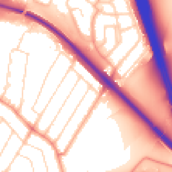
Daytime· 07:00 – 23:00
56.6dB

Night-time· 23:00 – 07:00
48.7dB