13 Desmond Road, Watford, WD24 5LH
About 13 Desmond Road
13 Desmond Road is a semi-detached house in Watford (WD24 5LH). It has a recorded floor area of 47 m² (around 506 sq ft), construction records dating it to 1930-1949 and council tax band B. The latest certificate (October 2016) shows a D (score 68), on the cusp of jumping into the C band. The recommended improvements would push it to C (score 77).
Held since November 2006 — that's 20 years off the open market, well above the local norm. Today's modelled estimate of £315,000 sits 50% above the 2006 sale of £209,950. On a £-per-square-foot basis, the last sale (£415/sq ft) was about 39.9% above the typical sold price in the postcode. At 47 m² it sits well below the postcode median (71 m² across 27 EPCs), making it one of the more compact homes locally. It lags the bulk of the postcode on energy efficiency (less efficient than 70% of similar EPCs). 2 planning records sit against the property, 0 approved, 0 refused.
Everything you need to know about 13 Desmond Road
The true value, the hidden risks and the full sale history, in one report.
30-day money-back guarantee

The data behind every report


Energy performance
EPC Rating
Planning history
Council records show a subdivision application — the property's legal arrangement has been altered.
- Apr 2007ConditionsIn report
Details submitted pursuant to Conditions 5 (cycle and bin storage), 6 (soundproofing) and 7 (fencing), of Town Planning permission reference 06/01395FUL
- Documents
- 13 docs on file
- Reference
- 07/00225/DISCON
- Jan 2007SubdivisionFullIn report
Extension: Rear of property
Erection of a rear extension and conversion to two flats
ExtensionChange of Use- Documents
- 64 docs on file
- Reference
- 06/01395/FUL
What's in 13 Desmond Road, Watford, WD24 5LH's planning history?
Refusals, disputes and full decisions on this property and nearby, in the report.
Sales history & valuation
13 Desmond Road valuation sits well clear of the typical sold price in this postcode.
£315,000
Modelled from EPC, postcode comparables.
£209,950
Recorded with HM Land Registry.
Sales timeline
30 November 2006Most recent
£209,950
Median price across the last 5 sales in WD24 5LH: £385,000 (2024–2017).
Nearby sales in WD24 5LH
Everything you need to know about 13 Desmond Road
The true value, the hidden risks and the full sale history, in one report.
30-day money-back guarantee
The data behind every report
Similar properties nearby
The neighbourhood at a glance
Reported crime in the wider district is trending notably upward year-on-year.
Crime
4/mo
Rising year-on-year across the wider district.
Nearest stop
0.2 km
Courtlands Drive Shops — bus stop.
Closest school
0.3 km
The Orchard Primary School. 27 schools nearby.
Go deeper on the local area
The full report breaks down crime, transport links, schools and air quality in depth.
Road noise across the postcode
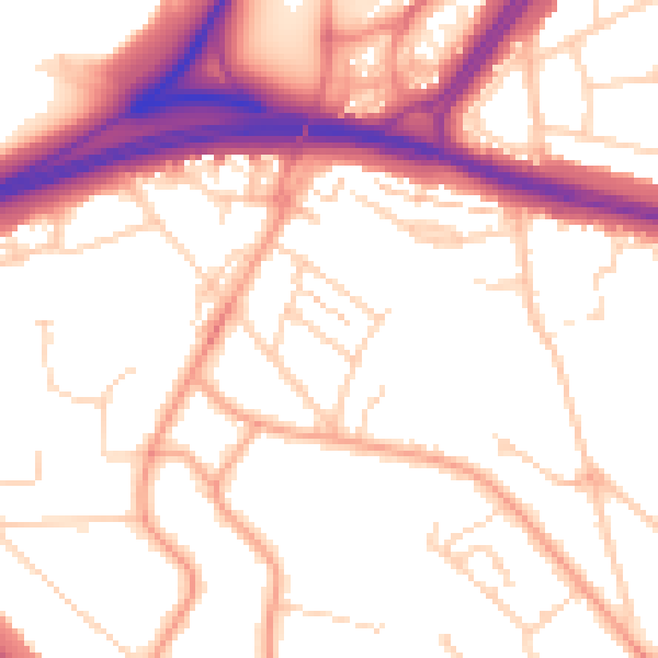
Daytime· 07:00 – 23:00
53.0dB

Night-time· 23:00 – 07:00
43.3dB