7a, Diamond Road, Watford, WD24 5EN
About 7a
7a is a three-bedroom mid-terrace house in Watford (WD24 5EN). It has a recorded floor area of 77 m² (around 829 sq ft), construction records dating it to 1900-1929 and council tax band C. The latest certificate (July 2018) shows a D (score 63), on the cusp of jumping into the C band. The rating has held steady at D across 2 certificates since July 2018. The recommended improvements would lift it to B (score 82), a 2-band jump.
A recent sale: £412,500 in October 2025. Across 2008–2025, sale prices on this property compounded at 5.6% per year. On a £-per-square-foot basis, the last sale (£498/sq ft) was about 112.7% above the typical sold price in the postcode.
What this property has
Inside
- Bedrooms3
- Bathrooms1
- Dining roomYes
- FireplaceYes
Outside
- Private gardenRear
Building
- Central heatingYes
Everything you need to know about 7a
The true value, the hidden risks and the full sale history, in one report.
30-day money-back guarantee

The data behind every report


Energy performance
Recommended upgrades on file would lift this property by multiple EPC bands.
EPC Rating
Property Improvements
Changes detected from historical EPC data
Heating controls upgraded for better temperature management
Planning history
7a has no planning applications on record.
Notable planning nearby
3applications of note in the surrounding area
Sales history & valuation
Sale price has at least doubled since 2008.
£411,000
Modelled from EPC, postcode comparables and a sale-price growth of 5.6% per year over 17 years.
£412,500
Growth on file: 5.6% per year over 17 years.
Sales timeline
16 October 2025Most recent
£412,500
+24.2%over 6 years25 October 2018
£332,000
+101.8%over 9 years28 November 2008
£164,500
Median price across the last 5 sales in WD24 5EN: £432,500 (2024–2023).
Versus other Diamond Road homes
On years held, 7a runs well behind the street norm.
Price per m²
£5,357
Street avg £4,014
Floor Area
77 m²
Street avg 85 m²
Habitable Rooms
5 rooms
Street avg 4 rooms
CO₂ Emissions
3.5 t/year
Street avg 3.9 t/year
Everything you need to know about 7a
The true value, the hidden risks and the full sale history, in one report.
30-day money-back guarantee
The data behind every report
Similar properties nearby
The neighbourhood at a glance
Reported crime in the wider district is trending notably upward year-on-year.
Crime
4/mo
Rising year-on-year across the wider district.
Nearest stop
0.2 km
Shakespeare Street — bus stop.
Closest school
0.4 km
Nascot Wood Infant and Nursery School. 35 schools nearby.
Go deeper on the local area
The full report breaks down crime, transport links, schools and air quality in depth.
Road noise across the postcode
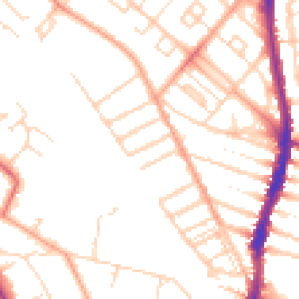
Daytime· 07:00 – 23:00
50.0dB

Night-time· 23:00 – 07:00
39.9dB