15 Buxton House, Oxhey Drive, Watford, WD19 7FN
About 15 Buxton House
15 Buxton House is a detached house in Watford (WD19 7FN). It has a recorded floor area of 78 m² (around 840 sq ft) and construction records dating it to 2022. The latest certificate (July 2022) returns a high B (score 87), putting the home a stone's throw from an A rating. At 78 m² this is the 34th smallest of 44 units on EPC record in the building, where floor areas span 42–86 m².
At 78 m² it's 27.9% larger than the typical home in the postcode (61 m² median across 43 EPCs). Most recent transfer: August 2022 at £395,000. That sale was during the post-pandemic price surge, when transactions cleared materially above pre-2020 trend.
Everything you need to know about 15 Buxton House
The true value, the hidden risks and the full sale history, in one report.
30-day money-back guarantee

The data behind every report


Energy performance
15 Buxton House's carbon output is low for the local stock.
EPC Rating
Planning history
15 Buxton House has no planning applications on record.
Notable planning nearby
3applications of note in the surrounding area
We flagged 1 thing worth checking at 15 Buxton House
Independent checks surfaced things a buyer would want to understand before offering. The report explains each one in full, with the underlying data and what to ask.
- Larger development activity nearby
30-day money-back guarantee
Sales history & valuation
The latest sale landed in the post-pandemic price surge — useful context when reading the figure.
£409,000
Modelled from EPC, postcode comparables.
£395,000
Recorded with HM Land Registry.
Sales timeline
24 August 2022Most recent
£395,000
Median price across the last 5 sales in WD19 7FN: £375,000 (2023–2023).
Nearby sales in WD19 7FN
17 Buxton House, Oxhey Drive, Watford, WD19 7FN
Sold Nov 2023
£363,32525 Buxton House, Oxhey Drive, Watford, WD19 7FN
Sold Oct 2023
£375,00033 Buxton House, Oxhey Drive, Watford, WD19 7FN
Sold Sept 2023
£385,00043 Buxton House, Oxhey Drive, Watford, WD19 7FN
Sold Apr 2023
£385,0009 Buxton House, Oxhey Drive, Watford, WD19 7FN
Sold Apr 2023
£370,000
Versus other Oxhey Drive homes
Price per m² for 15 Buxton House lags the street by a wide margin.
Price per m²
£5,064
Street avg £5,997
Floor Area
78 m²
Street avg 64 m²
CO₂ Emissions
0.9 t/year
Street avg 0.8 t/year
Years Held
4 years
Street avg 4 years
Everything you need to know about 15 Buxton House
The true value, the hidden risks and the full sale history, in one report.
30-day money-back guarantee
The data behind every report
Similar properties nearby
The neighbourhood at a glance
Rail-style transport is unusually close for this postcode.
Crime
4/mo
Steady year-on-year across the wider district.
Nearest stop
0.1 km
Seacroft Gardens — bus stop.
Closest school
0.4 km
Warren Dell Primary School. 25 schools nearby.
Go deeper on the local area
The full report breaks down crime, transport links, schools and air quality in depth.
Road noise across the postcode
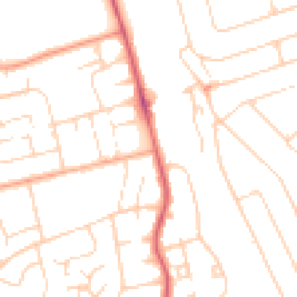
Daytime· 07:00 – 23:00
49.0dB

Night-time· 23:00 – 07:00
38.5dB