28 Farrell Street, Warrington, WA1 2EE
About 28 Farrell Street
28 Farrell Street is an end-of-terrace house in Warrington (WA1 2EE). It has a recorded floor area of 48 m² (around 517 sq ft), construction records dating it to 1950-1966 and council tax band A. At 48 m² this is the 11th smallest of 36 units on EPC record in the building, where floor areas span 33–84 m². The building's EPC ratings span C to B, with this unit at the bottom. The latest certificate (January 2026) shows a C (score 75), near the top of the C band. The rating has held steady at C across 2 certificates since February 2016. Between certificates, window efficiency dropped from Good to Average and lighting dropped from Very Good to Average. This certificate was lodged in the last six months, so the rating reflects current condition.
Today's modelled estimate of £111,000 sits 105.6% above the 2016 sale of £54,000. Last sold in April 2016, so it's been off the market for around 10 years.
Everything you need to know about 28 Farrell Street
The true value, the hidden risks and the full sale history, in one report.
30-day money-back guarantee

The data behind every report


Energy performance
28 Farrell Street's carbon output is low for the local stock.
EPC Rating
Property Improvements
Changes detected from historical EPC data
More low energy lighting installed
Planning history
28 Farrell Street has no planning applications on record.
Notable planning nearby
2applications of note in the surrounding area
We flagged 1 thing worth checking at 28 Farrell Street
Independent checks surfaced things a buyer would want to understand before offering. The report explains each one in full, with the underlying data and what to ask.
- Larger development activity nearby
30-day money-back guarantee
Sales history & valuation
£111,000
Modelled from EPC, postcode comparables.
£54,000
Recorded with HM Land Registry.
Sales timeline
14 April 2016Most recent
£54,000
Median price across the last 2 sales in WA1 2EE: £74,000 (2023–2011).
Nearby sales in WA1 2EE
Versus other Farrell Street homes
EPC Rating for 28 Farrell Street lags the street by a wide margin.
EPC Rating
75 (C)
Street avg 78 (C)
Floor Area
48 m²
Street avg 46 m²
CO₂ Emissions
1.4 t/year
Street avg 1.3 t/year
Habitable Rooms
2 rooms
Street avg 2 rooms
Everything you need to know about 28 Farrell Street
The true value, the hidden risks and the full sale history, in one report.
30-day money-back guarantee
The data behind every report
Similar properties nearby
The neighbourhood at a glance
Rail-style transport is unusually close for this postcode.
Crime
3/mo
Steady year-on-year across the wider district.
Nearest stop
0.1 km
St. Elphins Close — bus stop.
Closest school
0.5 km
St Elphin's (Fairfield) CofE Voluntary Aided Primary School. 39 schools nearby.
Go deeper on the local area
The full report breaks down crime, transport links, schools and air quality in depth.
Road noise across the postcode
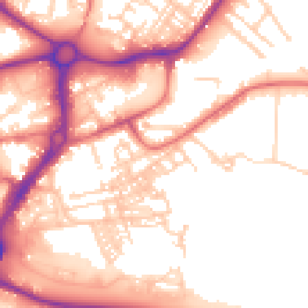
Daytime· 07:00 – 23:00
55.4dB

Night-time· 23:00 – 07:00
45.5dB