9 Carlton Gardens, Ealing, London, W5 2AN
About 9 Carlton Gardens
9 Carlton Gardens is a five-bedroom semi-detached house in Ealing, London, London (W5 2AN). It has a recorded floor area of 180 m² (around 1938 sq ft) and construction records dating it to 1900-1929. The latest certificate (May 2022) shows a D (score 65), on the cusp of jumping into the C band. The recommended improvements would lift it to B (score 83), a 2-band jump. Other recorded features include a self-contained annexe and a basement.
It hasn't traded since November 1999, a hold of 27 years that's notably long for the area. Only one transfer is on record with HM Land Registry, suggesting it has stayed in the same hands for a long time. Today's modelled estimate of £1,420,000 sits 305.7% above the 1999 sale of £350,000. On a £-per-square-foot basis, the last sale (£181/sq ft) was about 68.1% below the postcode norm. At 180 m² it sits well below the postcode median (340 m² across 6 EPCs), making it one of the more compact homes locally. 5 bedrooms is on the larger side for this postcode, where 4 is the typical count. 2 planning records sit against the property, 1 approved, 1 refused. Past consents include an extension, meaningful when judging how the property has evolved.
Know exactly what you're buying at 9 Carlton Gardens
Before you offer, see what the listing won't tell you, the true value, the red flags and the full history.
Already flagged here
Valuation
against the asking price
Risks
planning & flood
Sold prices
similar homes nearby
Trends
the local market
What this property has
Inside
- Bedrooms5
- Bathrooms2
- BasementYes
Outside
- Private gardenYes
Building
- RefurbishedYes
Energy performance
9 Carlton Gardens's carbon output runs well above what efficient homes in the postcode produce.
EPC Rating
Planning history
- Jul 2003ExtensionFullIn report
Dormer window extension in rear roof slope and 2 rooflights in front roof slope of house, plus creation of 2 new windows to side elevation of house
- Reference
- P/2003/1859
- Apr 2003OutlineIn report
Dormer window extension in rear roof slope and velux window in front roof slope of house (Lawful Development Certificate)
- Reference
- P/2003/1134
We flagged 2 things worth checking at 9 Carlton Gardens
Independent checks surfaced things a buyer would want to understand before offering. The report explains each one in full, with the underlying data and what to ask.
- Signs of HMO activity in the area
- Larger development activity nearby
30-day money-back guarantee
Sales history & valuation
Latest sale on 9 Carlton Gardens was the lowest on Land Registry record across the postcode.
£1,420,000
Modelled from EPC, postcode comparables.
£350,000
Recorded with HM Land Registry.
Sales timeline
19 November 1999Most recent
£350,000
Median price across the last 5 sales in W5 2AN: £2,500,000 (2025–2018).
Nearby sales in W5 2AN
11 Carlton Gardens, Ealing, London, W5 2AN
Sold Jun 2025
£2,304,0007 Carlton Gardens, Ealing, London, W5 2AN
Sold Feb 2025
£3,765,0006 Carlton Gardens, Ealing, London, W5 2AN
Sold May 2019
£2,500,0002 Carlton Gardens, Ealing, London, W5 2AN
Sold Nov 2018
£1,925,0001 Carlton Gardens, Ealing, London, W5 2AN
Sold Sept 2018
£3,042,000
Everything we know about 9 Carlton Gardens, in one report
What it's really worth, what could be wrong, and the planning, sales and area data in full.
What we flagged
- Signs of HMO activity in the area
- Larger development activity nearby

Versus other Carlton Gardens homes
Price per m² for 9 Carlton Gardens lags the street by a wide margin.
Price per m²
£1,944
Street avg £8,385
Floor Area
180 m²
Street avg 346 m²
Habitable Rooms
7 rooms
Street avg 9 rooms
CO₂ Emissions
6.3 t/year
Street avg 10.8 t/year
Similar properties nearby
1 Corfton Lodge, Corfton Road, Ealing
W5 2HU
1 Hogarth Close, Ealing
W5 2JT
1 Craven Avenue, Ealing
W5 2SY
1 Carlton Road, Ealing
W5 2AW
1 Elmcroft Close, Ealing
W5 2HQ
1 Goldcrest Mews, Montpelier Road, Ealing
W5 2QH
1 Carlton Gardens, Ealing
W5 2AN
1 Bruce Court, Underhill Gardens, Ealing
W5 2TA
The neighbourhood at a glance
Rail-style transport is unusually close for this postcode.
Crime
14/mo
Rising year-on-year across the wider district.
Nearest stop
0.1 km
Longfield Avenue — bus stop.
Closest school
0.4 km
Christ the Saviour Church of England Primary School. 39 schools nearby.
Go deeper on the local area
The full report breaks down crime, transport links, schools and air quality in depth.
Road noise across the postcode
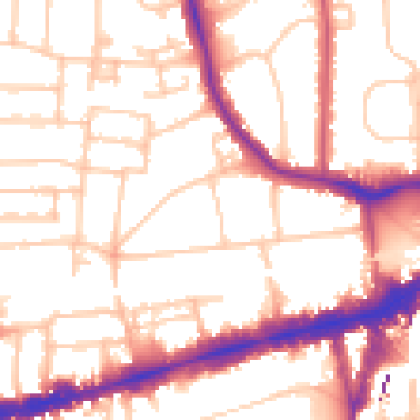
Daytime· 07:00 – 23:00
53.9dB

Night-time· 23:00 – 07:00
43.6dB