410c, Uxbridge Road, Hammersmith And Fulham, London, W12 0NP
About 410c
410c is a property in Hammersmith And Fulham, London, London (W12 0NP).
Last sale on file: £45,000 in July 2019. One historical planning record sits against the property in 2013.
Know exactly what you're buying at 410c
Before you offer, see what the listing won't tell you, the true value, the red flags and the full history.
Valuation
against the asking price
Risks
planning & flood
Sold prices
similar homes nearby
Trends
the local market
Energy performance
No EPC on record
This property doesn't have an Energy Performance Certificate yet. An EPC is required to sell or let — and unlocks our automated valuation.
Planning history
- Mar 2013FullIn report
Use of the first floor level for a private hire operating centre, on the basis that: (i) No other staff to be employed at the property; (ii) No customers shall visit the premises; (iii) All bookings will be taken by telephone, fax, internet or email.
- Documents
- 8 docs on file
- Reference
- 2013/04176/FUL
What's in 410c, Uxbridge Road, Hammersmith And Fulham, London, W12 0NP's planning history?
Refusals, disputes and full decisions on this property and nearby, in the report.
Sales history & valuation
£45,000
Recorded with HM Land Registry.
Sales timeline
1 July 2019Most recent
£45,000
Median price across the last 3 sales in W12 0NP: £119,500 (2023–2001).
Everything we know about 410c, in one report
What it's really worth, what could be wrong, and the planning, sales and area data in full.
- Am I paying too much?
- Is something wrong with it?
- Is the agent's story true?
- Will it hold its value?

Similar properties nearby
1 Adelaide Grove, Hammersmith And Fulham
W12 0JU
1 Aldbourne Road, Hammersmith And Fulham
W12 0LW
1 Askham Court, Askham Road, Hammersmith And Fulham
W12 0NE
1 Aycliffe Road, Hammersmith And Fulham
W12 0LL
1 Begonia Walk, Hammersmith And Fulham
W12 0BE
1 Blakenham Court, Cleverly Estate, Wormholt Road, Hammersmith And Fulham
W12 0LA
1 Bramble Gardens, Hammersmith And Fulham
W12 0TF
1 Braybrook Street, Hammersmith And Fulham
W12 0AR
The neighbourhood at a glance
Rail-style transport is unusually close for this postcode.
Crime
6/mo
Rising year-on-year across the wider district.
Nearest stop
0.0 km
Adelaide Grove — bus stop.
Closest school
0.3 km
Greenside Primary School. 65 schools nearby.
Go deeper on the local area
The full report breaks down crime, transport links, schools and air quality in depth.
Road noise across the postcode
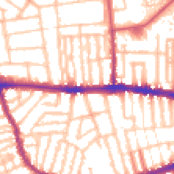
Daytime· 07:00 – 23:00
54.7dB

Night-time· 23:00 – 07:00
44.5dB