9 Briar Close, Isleworth, TW7 7LF
About 9 Briar Close
9 Briar Close is a semi-detached house in Isleworth (TW7 7LF). It has a recorded floor area of 64 m² (around 689 sq ft), construction records dating it to 1930-1949 and council tax band C. The latest certificate (February 2021) shows a C (score 72). The rating has held steady at C across 2 certificates since February 2011.
Held since November 2007 — that's 19 years off the open market, well above the local norm. That sale landed at the peak of the pre-credit-crunch market, which is a useful reference point when interpreting the price. Today's modelled estimate of £368,000 sits 84% above the 2007 sale of £200,000.
Know exactly what you're buying at 9 Briar Close
Before you offer, see what the listing won't tell you, the true value, the red flags and the full history.
Already flagged here
Valuation
against the asking price
Risks
planning & flood
Sold prices
similar homes nearby
Trends
the local market
Energy performance
EPC Rating
Planning history
9 Briar Close has no planning applications on record.
Notable planning nearby
3applications of note in the surrounding area
We flagged 1 thing worth checking at 9 Briar Close
Independent checks surfaced things a buyer would want to understand before offering. The report explains each one in full, with the underlying data and what to ask.
- Larger development activity nearby
30-day money-back guarantee
Sales history & valuation
The latest sale landed at the peak of the pre-credit-crunch market — a high-water reference point.
£368,000
Modelled from EPC, postcode comparables.
£200,000
Recorded with HM Land Registry.
Sales timeline
30 November 2007Most recent
£200,000
Median price across the last 5 sales in TW7 7LF: £355,000 (2025–2016).
Everything we know about 9 Briar Close, in one report
What it's really worth, what could be wrong, and the planning, sales and area data in full.
What we flagged
- Larger development activity nearby

Versus other Briar Close homes
9 Briar Close is notably below the street on floor area.
Price per m²
£3,125
Street avg £4,216
Floor Area
64 m²
Street avg 71 m²
Habitable Rooms
3 rooms
Street avg 3 rooms
CO₂ Emissions
2.1 t/year
Street avg 3.3 t/year
Similar properties nearby
The neighbourhood at a glance
Crime
3/mo
Steady year-on-year across the wider district.
Nearest stop
0.1 km
Woodstock Avenue St Margarets — bus stop.
Closest school
0.5 km
Ivybridge Primary School. 51 schools nearby.
Go deeper on the local area
The full report breaks down crime, transport links, schools and air quality in depth.
Road noise across the postcode
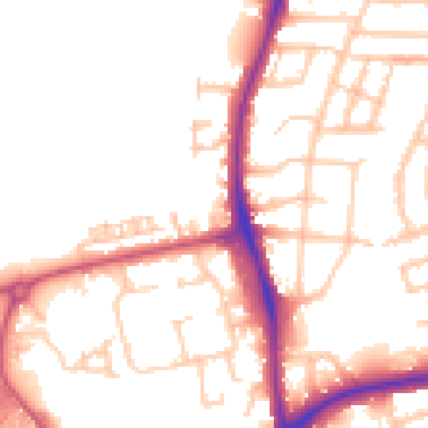
Daytime· 07:00 – 23:00
51.4dB

Night-time· 23:00 – 07:00
42.3dB