21b, Harte Road, Hounslow, TW3 4LD
About 21b
21b is a mid-terrace house in Hounslow (TW3 4LD). It has a recorded floor area of 70 m² (around 753 sq ft), construction records dating it to 1996-2002 and council tax band D. The latest certificate (September 2020) shows a C (score 73). Earlier certificates rated it B (July 2009); the latest reading is one band lower. Between certificates, wall efficiency dropped from Very Good to Good and roof efficiency dropped from Good to Average. The recommended improvements would push it to B (score 86).
Today's modelled estimate of £412,000 sits 89% above the 2012 sale of £218,000. Last changed hands 14 years ago, in May 2012.
Know exactly what you're buying at 21b
Before you offer, see what the listing won't tell you, the true value, the red flags and the full history.
Already flagged here
Valuation
against the asking price
Risks
planning & flood
Sold prices
similar homes nearby
Trends
the local market
Energy performance
EPC Rating
Planning history
21b has no planning applications on record.
Notable planning nearby
18applications of note in the surrounding area
We flagged 1 thing worth checking at 21b
Independent checks surfaced things a buyer would want to understand before offering. The report explains each one in full, with the underlying data and what to ask.
- Signs of HMO activity in the area
30-day money-back guarantee
Sales history & valuation
21b valuation sits well clear of the typical sold price in this postcode.
£412,000
Modelled from EPC, postcode comparables.
£218,000
Recorded with HM Land Registry.
Sales timeline
27 May 2012Most recent
£218,000
Median price across the last 5 sales in TW3 4LD: £445,000 (2024–2021).
Everything we know about 21b, in one report
What it's really worth, what could be wrong, and the planning, sales and area data in full.
What we flagged
- Signs of HMO activity in the area

Versus other Harte Road homes
21b outperforms the street on co₂ emissions by a wide margin.
Price per m²
£3,114
Street avg £3,751
Floor Area
70 m²
Street avg 82 m²
Habitable Rooms
4 rooms
Street avg 4 rooms
CO₂ Emissions
2.1 t/year
Street avg 3.4 t/year
Similar properties nearby
The neighbourhood at a glance
Rail-style transport is unusually close for this postcode.
Crime
16/mo
Rising year-on-year across the wider district.
Nearest stop
0.1 km
Queenswood Avenue — bus stop.
Closest school
0.2 km
Wellington Primary School. 40 schools nearby.
Go deeper on the local area
The full report breaks down crime, transport links, schools and air quality in depth.
Road noise across the postcode
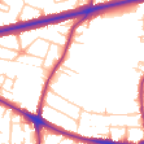
Daytime· 07:00 – 23:00
53.5dB

Night-time· 23:00 – 07:00
46.2dB