5 Cromwell Street, Hounslow, TW3 3LQ
About 5 Cromwell Street
5 Cromwell Street is a property in Hounslow (TW3 3LQ).
It changed hands recently, sold July 2025 for £1,800,000. Across the public record there are 6 sales, relatively high churn for a single property. 2 planning records sit against the property, 1 approved, 0 refused. Across 2003–2025, sale prices on this property compounded at 6.6% per year.
Know exactly what you're buying at 5 Cromwell Street
Before you offer, see what the listing won't tell you, the true value, the red flags and the full history.
Already flagged here
Valuation
against the asking price
Risks
planning & flood
Sold prices
similar homes nearby
Trends
the local market
Energy performance
No EPC on record
This property doesn't have an Energy Performance Certificate yet. An EPC is required to sell or let — and unlocks our automated valuation.
Planning history
- Nov 2006OutlineIn report
Certificate of Lawfulness for the continued use of premises as 9 self contained bedsits.
- Reference
- P/2006/2951
- Aug 2005
We flagged 2 things worth checking at 5 Cromwell Street
Independent checks surfaced things a buyer would want to understand before offering. The report explains each one in full, with the underlying data and what to ask.
- Signs of HMO activity in the area
- Larger development activity nearby
30-day money-back guarantee
Sales history & valuation
Latest sale on 5 Cromwell Street was the highest on Land Registry record across the postcode.
£1,800,000
Growth on file: 6.6% per year over 22 years.
Sales timeline
30 July 2025Most recent
£1,800,000
-2.7%2 April 2025
£1,850,000
+100.0%2 April 2025
£925,000
+5.7%over 16 years23 March 2009
£875,000
+12.9%over 1 year17 July 2007
£775,000
+72.2%over 3 years16 October 2003
£450,000
Median price across the last 5 sales in TW3 3LQ: £360,000 (2023–2017).
Nearby sales in TW3 3LQ
Everything we know about 5 Cromwell Street, in one report
What it's really worth, what could be wrong, and the planning, sales and area data in full.
What we flagged
- Signs of HMO activity in the area
- Larger development activity nearby

Similar properties nearby
The neighbourhood at a glance
Rail-style transport is unusually close for this postcode.
Crime
16/mo
Rising year-on-year across the wider district.
Nearest stop
0.1 km
The Bell — bus stop.
Closest school
0.3 km
Grove Road Primary School. 40 schools nearby.
Go deeper on the local area
The full report breaks down crime, transport links, schools and air quality in depth.
Road noise across the postcode
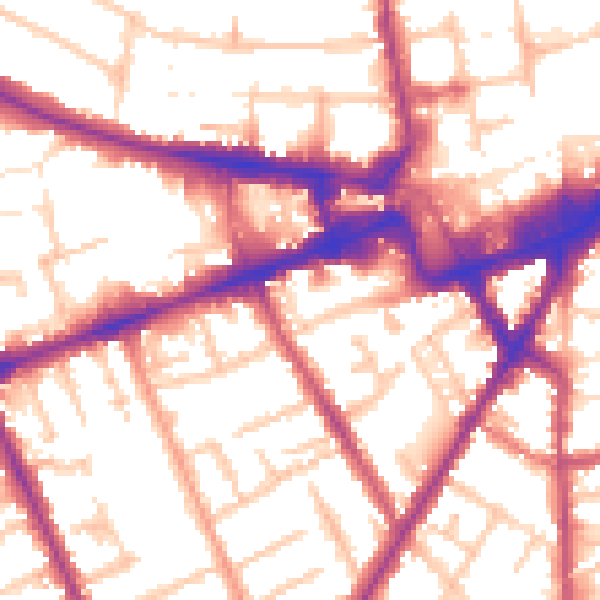
Daytime· 07:00 – 23:00
55.8dB

Night-time· 23:00 – 07:00
46.9dB