133 High Street, Hounslow, TW3 1QL
About 133 High Street
133 High Street is a property in Hounslow (TW3 1QL).
5 planning records sit against the property, 4 approved, 0 refused. Across 2021–2021, sale prices on this property compounded at -25.7% per year. Most recent transfer: September 2021 at £2,600,000. That sale was during the post-pandemic price surge, when transactions cleared materially above pre-2020 trend.
Know exactly what you're buying at 133 High Street
Before you offer, see what the listing won't tell you, the true value, the red flags and the full history.
Already flagged here
Valuation
against the asking price
Risks
planning & flood
Sold prices
similar homes nearby
Trends
the local market
Energy performance
No EPC on record
This property doesn't have an Energy Performance Certificate yet. An EPC is required to sell or let — and unlocks our automated valuation.
Planning history
133 High Street has been through 4 approved planning applications — a well-evolved property.
- Apr 2015FullIn report
Temporary change of use of ground floor to health assessment centre (Use Class D1) for 10 years
- Documents
- 7 docs on file
- Reference
- P/2015/0735
- Nov 2010AdvertisingIn report
Retrospective application for the display of an internally illuminated fascia sign to the premises.
Retrospective- Reference
- P/2010/2612
We flagged 2 things worth checking at 133 High Street
Independent checks surfaced things a buyer would want to understand before offering. The report explains each one in full, with the underlying data and what to ask.
- Signs of HMO activity in the area
- Larger development activity nearby
30-day money-back guarantee
Sales history & valuation
Latest sale on 133 High Street was the highest on Land Registry record across the postcode.
£2,600,000
Growth on file: -25.7% per year over 1 year.
Sales timeline
13 September 2021Most recent
£2,600,000
-25.7%13 September 2021
£3,500,000
Median price across the last 5 sales in TW3 1QL: £153,500 (2024–2014).
Nearby sales in TW3 1QL
Everything we know about 133 High Street, in one report
What it's really worth, what could be wrong, and the planning, sales and area data in full.
What we flagged
- Signs of HMO activity in the area
- Larger development activity nearby

Similar properties nearby
The neighbourhood at a glance
Rail-style transport is unusually close for this postcode.
Crime
16/mo
Rising year-on-year across the wider district.
Nearest stop
0.0 km
Fair Street — bus stop.
Closest school
0.2 km
Lift Kingsley. 53 schools nearby.
Go deeper on the local area
The full report breaks down crime, transport links, schools and air quality in depth.
Road noise across the postcode
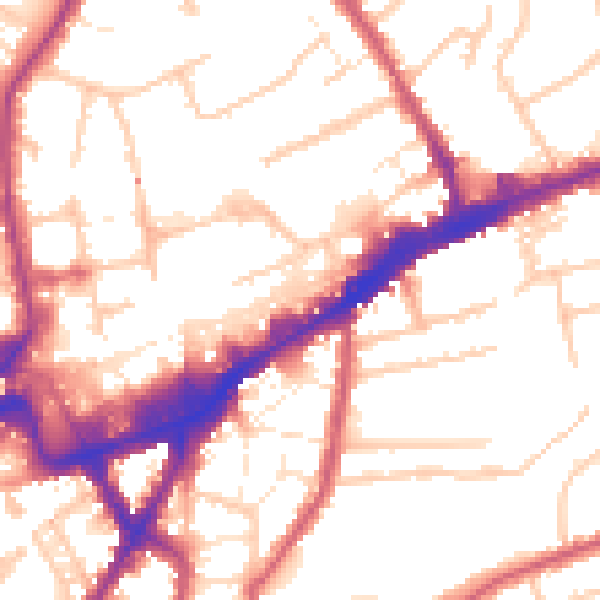
Daytime· 07:00 – 23:00
53.9dB

Night-time· 23:00 – 07:00
43.9dB