259b, High Street, Hounslow, TW3 1EA
About 259b
259b is an end-of-terrace house in Hounslow (TW3 1EA). It has a recorded floor area of 90 m² (around 969 sq ft), construction records dating it to 1930-1949 and council tax band D. The latest certificate (May 2022) shows a D (score 57), a step below the typical UK home.
At 90 m² the property is well over the postcode median (47 m² across 3 EPCs), placing it in the larger end of the local stock. Today's modelled estimate of £358,000 sits 123.7% above the 2023 sale of £160,000. Last sale on file: £160,000 in December 2023.
Know exactly what you're buying at 259b
Before you offer, see what the listing won't tell you, the true value, the red flags and the full history.
Already flagged here
Valuation
against the asking price
Risks
planning & flood
Sold prices
similar homes nearby
Trends
the local market
Energy performance
EPC Rating
Planning history
259b has no planning applications on record.
Notable planning nearby
23applications of note in the surrounding area
We flagged 2 things worth checking at 259b
Independent checks surfaced things a buyer would want to understand before offering. The report explains each one in full, with the underlying data and what to ask.
- Signs of HMO activity in the area
- Larger development activity nearby
30-day money-back guarantee
Sales history & valuation
259b valuation runs notably under the typical sold price in this postcode.
£358,000
Modelled from EPC, postcode comparables.
£160,000
Recorded with HM Land Registry.
Sales timeline
5 December 2023Most recent
£160,000
Median price across the last 5 sales in TW3 1EA: £837,000 (2022–2002).
Everything we know about 259b, in one report
What it's really worth, what could be wrong, and the planning, sales and area data in full.
What we flagged
- Signs of HMO activity in the area
- Larger development activity nearby

Versus other High Street homes
EPC Rating for 259b lags the street by a wide margin.
EPC Rating
57 (D)
Street avg 67 (D)
Floor Area
90 m²
Street avg 48 m²
CO₂ Emissions
4.6 t/year
Street avg 1.7 t/year
Similar properties nearby
The neighbourhood at a glance
Rail-style transport is unusually close for this postcode.
Crime
16/mo
Rising year-on-year across the wider district.
Nearest stop
0.1 km
Treaty Centre — bus stop.
Closest school
0.5 km
Lift Kingsley. 48 schools nearby.
Go deeper on the local area
The full report breaks down crime, transport links, schools and air quality in depth.
Road noise across the postcode
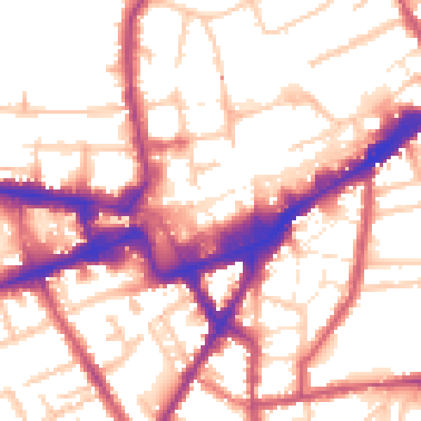
Daytime· 07:00 – 23:00
55.5dB

Night-time· 23:00 – 07:00
45.8dB