6 Allerton View, Yarm, TS15 9FH
About 6 Allerton View
6 Allerton View is a semi-detached house in Yarm (TS15 9FH). It has a recorded floor area of 116 m² (around 1249 sq ft) and council tax band D. The latest certificate (June 2015) returns a high B (score 88), putting the home a stone's throw from an A rating. The latest certificate is from June 2015, so improvements made since then won't be reflected.
At 116 m² the property is well over the postcode median (79 m² across 24 EPCs), placing it in the larger end of the local stock. On the market in June 2015 and unlisted since — roughly 11 years. Today's modelled estimate of £242,000 is 10% above the 2015 sale price.
Everything you need to know about 6 Allerton View
The true value, the hidden risks and the full sale history, in one report.
30-day money-back guarantee

The data behind every report


Energy performance
6 Allerton View's carbon output is low for the local stock.
EPC Expired
This certificate is over 10 years old and is no longer valid.Expired 10 Jun 2025
EPC Rating
Planning history
6 Allerton View has no planning applications on record.
Notable planning nearby
6applications of note in the surrounding area
We flagged 1 thing worth checking at 6 Allerton View
Independent checks surfaced things a buyer would want to understand before offering. The report explains each one in full, with the underlying data and what to ask.
- Larger development activity nearby
30-day money-back guarantee
Sales history & valuation
£242,000
Modelled from EPC, postcode comparables.
£219,950
Recorded with HM Land Registry.
Sales timeline
25 June 2015Most recent
£219,950
Median price across the last 5 sales in TS15 9FH: £240,000 (2025–2022).
Versus other Allerton View homes
On floor area, 6 Allerton View stands well clear of the street.
Price per m²
£1,896
Street avg £1,942
Floor Area
116 m²
Street avg 87 m²
CO₂ Emissions
1.3 t/year
Street avg 1.2 t/year
Years Held
11 years
Street avg 7 years
Everything you need to know about 6 Allerton View
The true value, the hidden risks and the full sale history, in one report.
30-day money-back guarantee
The data behind every report
Similar properties nearby
1 Atherton Way
TS15 9TB
1 Alder Road
TS15 9AG
1 Agricola Cottages, Low Worsall
TS15 9PL
1 Allerton View
TS15 9FH
1 Ashtree Terrace, Low Worsall
TS15 9PN
1 Braeworth Close
TS15 9SB
1 Brewery Cottage, Brewery Yard
TS15 9AL
1 Agricola Cottages, Hilton
TS15 9LA
The neighbourhood at a glance
Rail-style transport is unusually close for this postcode.
Crime
3/mo
Steady year-on-year across the wider district.
Nearest stop
0.1 km
Atherton Way — bus stop.
Closest school
0.5 km
Layfield Primary School. 7 schools nearby.
Go deeper on the local area
The full report breaks down crime, transport links, schools and air quality in depth.
Road noise across the postcode
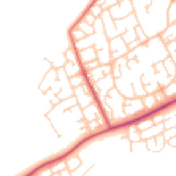
Daytime· 07:00 – 23:00
49.2dB

Night-time· 23:00 – 07:00
39.6dB