26 Britannia Avenue, Yarm, TS15 9FA
About 26 Britannia Avenue
26 Britannia Avenue is a four-bedroom detached house in Yarm (TS15 9FA). It has a recorded floor area of 118 m² (around 1270 sq ft) and construction records dating it to 2021. The latest certificate (May 2021) returns a B (score 84), comfortably above the UK average. The recommended improvements would push it to A (score 94).
Across 2021–2023, sale prices on this property compounded at 6.2% per year. Sold December 2023 for £330,000.
What this property has
Inside
- Bedrooms4
- Bathrooms3
- Open-plan layoutYes
- Dining roomYes
- EnsuiteYes
Outside
- Private gardenYes
- GarageYes
Building
- RefurbishedYes
Everything you need to know about 26 Britannia Avenue
The true value, the hidden risks and the full sale history, in one report.
30-day money-back guarantee

The data behind every report


Energy performance
EPC Rating
Planning history
26 Britannia Avenue has no planning applications on record.
Notable planning nearby
6applications of note in the surrounding area
We flagged 1 thing worth checking at 26 Britannia Avenue
Independent checks surfaced things a buyer would want to understand before offering. The report explains each one in full, with the underlying data and what to ask.
- Larger development activity nearby
30-day money-back guarantee
Sales history & valuation
£358,000
Modelled from EPC, postcode comparables and a sale-price growth of 6.2% per year over 2 years.
£330,000
Growth on file: 6.2% per year over 2 years.
Sales timeline
20 December 2023Most recent
£330,000
+15.0%over 2 years30 August 2021
£286,995
Median price across the last 5 sales in TS15 9FA: £369,995 (2024–2022).
Nearby sales in TS15 9FA
Versus other Britannia Avenue homes
26 Britannia Avenue is notably below the street on years held.
Price per m²
£2,797
Street avg £2,566
Floor Area
118 m²
Street avg 123 m²
CO₂ Emissions
1.8 t/year
Street avg 1.8 t/year
Years Held
2 years
Street avg 5 years
Everything you need to know about 26 Britannia Avenue
The true value, the hidden risks and the full sale history, in one report.
30-day money-back guarantee
The data behind every report
Similar properties nearby
1 Birch Close, Kirklevington
TS15 9NH
1 Ash Drive
TS15 9BZ
1 Agricola Cottages, Hilton
TS15 9LA
1 Braeside, Kirklevington
TS15 9NB
1 Atherton Way
TS15 9TB
1 Allerton View
TS15 9FH
1 Ashtree Terrace, Low Worsall
TS15 9PN
1 Bridgewater, Leven Bank
TS15 9BF
The neighbourhood at a glance
Rail-style transport is unusually close for this postcode.
Crime
3/mo
Steady year-on-year across the wider district.
Nearest stop
0.1 km
Orient Close — bus stop.
Closest school
0.5 km
Layfield Primary School. 7 schools nearby.
Go deeper on the local area
The full report breaks down crime, transport links, schools and air quality in depth.
Road noise across the postcode
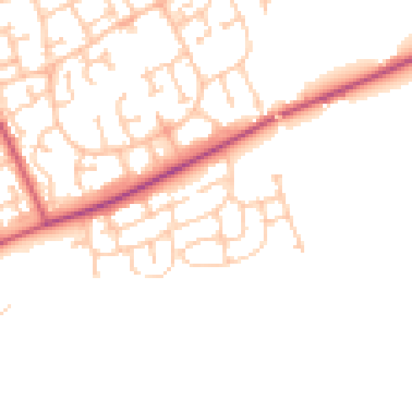
Daytime· 07:00 – 23:00
47.7dB

Night-time· 23:00 – 07:00
39.5dB