12 Alder Road, Yarm, TS15 9AG
About 12 Alder Road
12 Alder Road is a semi-detached house in Yarm (TS15 9AG). It has a recorded floor area of 89 m² (around 958 sq ft) and construction records dating it to 2022. The latest certificate (October 2022) returns a high B (score 85), putting the home a stone's throw from an A rating. The recommended improvements would push it to A (score 96).
Today's modelled estimate of £218,000 sits 287.6% above the 2023 sale of £56,250. On a £-per-square-foot basis, the last sale (£59/sq ft) was about 74.9% below the postcode norm. Sold March 2023 for £56,250.
Everything you need to know about 12 Alder Road
The true value, the hidden risks and the full sale history, in one report.
30-day money-back guarantee

The data behind every report


Energy performance
12 Alder Road's carbon output is low for the local stock.
EPC Rating
Planning history
12 Alder Road has no planning applications on record.
Notable planning nearby
6applications of note in the surrounding area
We flagged 1 thing worth checking at 12 Alder Road
Independent checks surfaced things a buyer would want to understand before offering. The report explains each one in full, with the underlying data and what to ask.
- Larger development activity nearby
30-day money-back guarantee
Sales history & valuation
Latest sale on 12 Alder Road was the lowest on Land Registry record across the postcode.
£218,000
Modelled from EPC, postcode comparables.
£56,250
Recorded with HM Land Registry.
Sales timeline
26 March 2023Most recent
£56,250
Median price across the last 5 sales in TS15 9AG: £235,000 (2024–2023).
Versus other Alder Road homes
Price per m² for 12 Alder Road lags the street by a wide margin.
Price per m²
£632
Street avg £2,640
Floor Area
89 m²
Street avg 91 m²
CO₂ Emissions
1.3 t/year
Street avg 1.3 t/year
Years Held
3 years
Street avg 4 years
Everything you need to know about 12 Alder Road
The true value, the hidden risks and the full sale history, in one report.
30-day money-back guarantee
The data behind every report
Similar properties nearby
1 Allerton View
TS15 9FH
1 Agricola Cottages, Low Worsall
TS15 9PL
1 Atherton Way
TS15 9TB
1 Alder Road
TS15 9AG
1 Brewery Cottage, Brewery Yard
TS15 9AL
1 Beechtree Court
TS15 9XJ
1 Angrove Close
TS15 9RR
1 Atlas Wynd
TS15 9AD
The neighbourhood at a glance
Daytime road noise here sits well below conversation level — a quiet pocket of the postcode.
Crime
3/mo
Steady year-on-year across the wider district.
Nearest stop
0.1 km
Tall Trees Hotel — bus stop.
Closest school
0.9 km
Layfield Primary School. 6 schools nearby.
Go deeper on the local area
The full report breaks down crime, transport links, schools and air quality in depth.
Road noise across the postcode
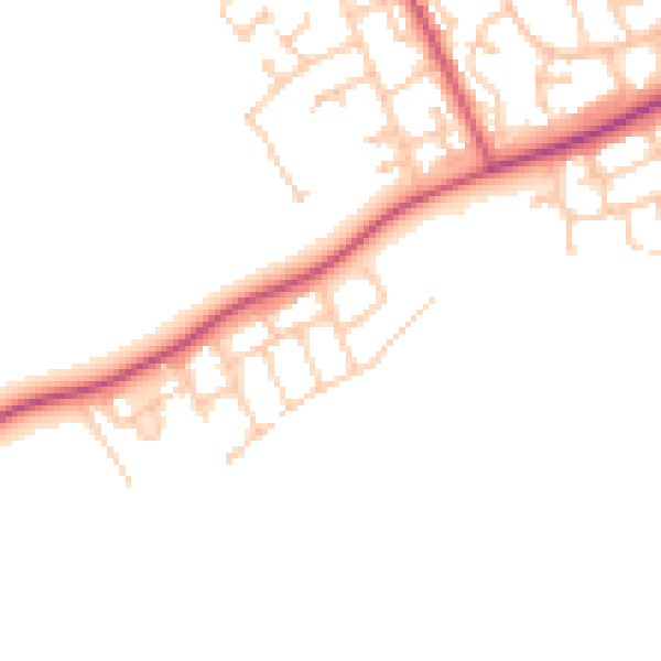
Daytime· 07:00 – 23:00
46.0dB

Night-time· 23:00 – 07:00
38.3dB