4 Levins Court, Madeley, Telford, TF7 4DR
About 4 Levins Court
A plain-English summary derived from public records, EPC certificates, sold prices and local data.
4 Levins Court is an end-of-terrace house in Madeley, Telford, Telford (TF7 4DR). It has a recorded floor area of 76 m² (around 818 sq ft), construction records dating it to 1996-2002 and council tax band B. The latest certificate (April 2022) shows a C (score 69), just inside the C band. The rating has held steady at C across 2 certificates since April 2012. Between certificates, lighting went from Good to Very Good. The recommended improvements would push it to B (score 86).
Sale prices here have outpaced England HPI: 4.6% per year against 0% for the wider region. On a £-per-square-foot basis, the last sale (£194/sq ft) was about 51.1% above the typical sold price in the postcode. Last sale on file: £159,000 in October 2023.
Before you offer
Know exactly what you're buying at 4 Levins Court
Before you offer, see what the listing won't tell you, the true value, the red flags and the full history.
£9.99£14.99
Launch offer · save £5
Energy performance
Every EPC certificate filed against this property — current rating, recorded improvements, and where there's headroom to reach a higher band.
Current Certificate(1 of 2)
Apr 2022
EPC Rating
A
B
C
C69
D
E
F
G
Main Heating
Gas
Main Fuel
Gas
Hot Water
Good
Windows
Average
CO2 Emissions
3.2 t/year
Occupancy
Rented
Planning history
Applications and permits filed against 4 Levins Court, Madeley, Telford, TF7 4DR, sourced from the PlanIt planning register.
4 Levins Court has no planning applications on record.
Notable planning nearby
3applications of note in the surrounding area
Sales history & valuation
Recorded transactions, our model's current estimate, and a quick read on what neighbouring properties have sold for.
4 Levins Court has more than tripled in price since its earliest registered sale in 1999.
Current estimate
See how we calculated this£165,000
Modelled from EPC, postcode comparables and a sale-price growth of 4.6% per year over 24 years.
Last sold (2023)
£159,000
Growth on file: 4.6% per year over 24 years.
Sales timeline
Before you offerLaunch offer · save £5
Everything we know about 4 Levins Court, in one report
What it's really worth, what could be wrong, and the planning, sales and area data in full.
- Am I paying too much?
- Is something wrong with it?
Versus other Levins Court homes
Four headline reads against 13 similar houses on this street, drawn from the latest EPC and Land Registry data.
CO₂ Emissions for 4 Levins Court lags the street by a wide margin.
Price per m²
£2,092
Street avg £1,836
Floor Area
76 m²
Street avg 72 m²
Habitable Rooms
5 rooms
Street avg 5 rooms
Similar properties nearby
A handful of close matches in the same postcode area, ranked by likeness on bedrooms, type and floor area.
The neighbourhood at a glance
A condensed read of the local area. Each tile links through to the full breakdown on the Telford district page.
Reported crime in the wider district is trending notably upward year-on-year.
Crime
5/mo
Rising year-on-year across the wider district.
Nearest stop
0.1 km
Hills Lane — bus stop.
Road noise across the postcode
Modelled day and night-time noise levels around TF7 4DR from Defra's strategic mapping. The pin marks this postcode's centroid.
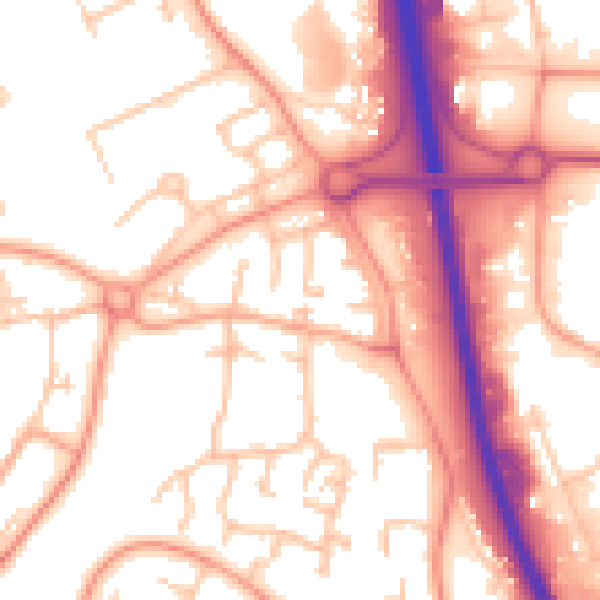
Daytime· 07:00 – 23:00
55.6dB

Everything within walking distance
Schools, transport stops and scenic spots near this property — 44 points of interest in total.
Common questions
The questions buyers, sellers and homeowners most often ask about 4 Levins Court, Madeley, Telford, TF7 4DR. Each answer is also embedded as structured data for search engines.
