23 Colridge Court, Donnington, Telford, TF2 7SA
About 23 Colridge Court
23 Colridge Court is a property in Donnington, Telford, Telford (TF2 7SA). It has council tax band C.
It hasn't traded since April 2006, a hold of 20 years that's notably long for the area. Across 2002–2006, sale prices on this property compounded at 11.3% per year.
Know exactly what you're buying at 23 Colridge Court
Before you offer, see what the listing won't tell you, the true value, the red flags and the full history.
Valuation
against the asking price
Risks
planning & flood
Sold prices
similar homes nearby
Trends
the local market
Energy performance
No EPC on record
This property doesn't have an Energy Performance Certificate yet. An EPC is required to sell or let — and unlocks our automated valuation.
Planning history
23 Colridge Court has no planning applications on record.
Notable planning nearby
2applications of note in the surrounding area
Sales history & valuation
23 Colridge Court saw 3 transfers in just over a decade — high turnover for the postcode.
£170,000
Growth on file: 11.3% per year over 3 years.
Sales timeline
23 April 2006Most recent
£170,000
+23.2%over 2 years5 January 2004
£138,000
+16.5%over 1 year13 December 2002
£118,500
Median price across the last 5 sales in TF2 7SA: £217,500 (2025–2023).
Nearby sales in TF2 7SA
19 Colridge Court, Donnington, Telford, TF2 7SA
Sold Feb 2025
£191,0008 Colridge Court, Donnington, Telford, TF2 7SA
Sold Aug 2024
£181,0006 Colridge Court, Donnington, Telford, TF2 7SA
Sold May 2024
£237,00029 Colridge Court, Donnington, Telford, TF2 7SA
Sold Dec 2023
£217,50034 Colridge Court, Donnington, Telford, TF2 7SA
Sold Feb 2023
£250,000
Everything we know about 23 Colridge Court, in one report
What it's really worth, what could be wrong, and the planning, sales and area data in full.
- Am I paying too much?
- Is something wrong with it?
- Is the agent's story true?
- Will it hold its value?

Similar properties nearby
1 Bishops Walk, Donnington Wood
TF2 7HP
1 Blythe Gardens
TF2 7NH
1 Corve Walk, Donnington
TF2 7QQ
1 Campion Drive, Donnington Wood
TF2 7RH
1 Ash Lea Drive, Donnington
TF2 7NS
1 Columbine Way, Donnington
TF2 7RL
1 Cardinals Close, Donnington Wood
TF2 7HW
1 Celandine Way, Donnington Wood
TF2 7RJ
The neighbourhood at a glance
Crime
7/mo
Steady year-on-year across the wider district.
Nearest stop
0.3 km
Bell Gate — bus stop.
Closest school
0.2 km
St Matthew's Church of England Aided Primary School and Nursery Centre. 11 schools nearby.
Go deeper on the local area
The full report breaks down crime, transport links, schools and air quality in depth.
Road noise across the postcode
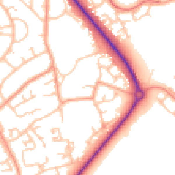
Daytime· 07:00 – 23:00
53.0dB

Night-time· 23:00 – 07:00
43.1dB