1 Eastwood Drive, Donnington, Telford, TF2 7LY
About 1 Eastwood Drive
1 Eastwood Drive is an end-of-terrace house in Donnington, Telford, Telford (TF2 7LY). It has a recorded floor area of 68 m² (around 732 sq ft), construction records dating it to 1991-1995 and council tax band C. The latest certificate (September 2015) shows a D (score 65), on the cusp of jumping into the C band. The recommended improvements would lift it to B (score 86), a 2-band jump. The latest certificate is from September 2015, so improvements made since then won't be reflected.
Across 2001–2016, sale prices on this property compounded at 3.7% per year. Today's modelled estimate of £188,000 sits 51.6% above the 2016 sale of £124,000. On a £-per-square-foot basis, the last sale (£169/sq ft) was about 41% above the typical sold price in the postcode. 10 years since the last transfer (March 2016). Across the public record there are 5 sales, relatively high churn for a single property. At 68 m² it's 19% smaller than the typical home in the postcode (84 m² median across 38 EPCs). It lags the bulk of the postcode on energy efficiency (less efficient than 71% of similar EPCs).
Know exactly what you're buying at 1 Eastwood Drive
Before you offer, see what the listing won't tell you, the true value, the red flags and the full history.
Valuation
against the asking price
Risks
planning & flood
Sold prices
similar homes nearby
Trends
the local market
Energy performance
Recommended upgrades on file would lift this property by multiple EPC bands.
EPC Expired
This certificate is over 10 years old and is no longer valid.Expired 13 Sept 2025
EPC Rating
Planning history
1 Eastwood Drive has no planning applications on record.
Notable planning nearby
2applications of note in the surrounding area
Sales history & valuation
1 Eastwood Drive changed hands twice within eighteen months — unusual for the area.
£188,000
Modelled from EPC, postcode comparables and a sale-price growth of 3.7% per year over 15 years.
£124,000
Growth on file: 3.7% per year over 15 years.
Sales timeline
4 March 2016Most recent
£124,000
-8.1%18 December 2015
£135,000
+0.7%over 9 years4 December 2006
£134,000
28 September 2006
£134,000
+86.2%over 5 years23 February 2001
£71,950
Median price across the last 5 sales in TF2 7LY: £182,500 (2025–2023).
Nearby sales in TF2 7LY
36 Eastwood Drive, Donnington, Telford, TF2 7LY
Sold Oct 2025
£198,00029 Eastwood Drive, Donnington, Telford, TF2 7LY
Sold May 2025
£157,50011 Eastwood Drive, Donnington, Telford, TF2 7LY
Sold Jan 2025
£200,00030 Eastwood Drive, Donnington, Telford, TF2 7LY
Sold Oct 2023
£177,00015 Eastwood Drive, Donnington, Telford, TF2 7LY
Sold Jun 2023
£182,500
Everything we know about 1 Eastwood Drive, in one report
What it's really worth, what could be wrong, and the planning, sales and area data in full.
- Am I paying too much?
- Is something wrong with it?
- Is the agent's story true?
- Will it hold its value?

Versus other Eastwood Drive homes
1 Eastwood Drive is notably below the street on epc rating.
Price per m²
£1,824
Street avg £1,756
Floor Area
68 m²
Street avg 85 m²
Habitable Rooms
4 rooms
Street avg 5 rooms
CO₂ Emissions
3.3 t/year
Street avg 3.3 t/year
Similar properties nearby
1 Campion Drive, Donnington Wood
TF2 7RH
1 Ash Lea Drive, Donnington
TF2 7NS
1 Columbine Way, Donnington
TF2 7RL
1 Cardinals Close, Donnington Wood
TF2 7HW
1 Bishops Walk, Donnington Wood
TF2 7HP
1 Celandine Way, Donnington Wood
TF2 7RJ
1 Blythe Gardens
TF2 7NH
1 Corve Walk, Donnington
TF2 7QQ
The neighbourhood at a glance
Crime
7/mo
Steady year-on-year across the wider district.
Nearest stop
0.1 km
Tranter Avenue — bus stop.
Closest school
0.4 km
St Matthew's Church of England Aided Primary School and Nursery Centre. 15 schools nearby.
Go deeper on the local area
The full report breaks down crime, transport links, schools and air quality in depth.
Road noise across the postcode
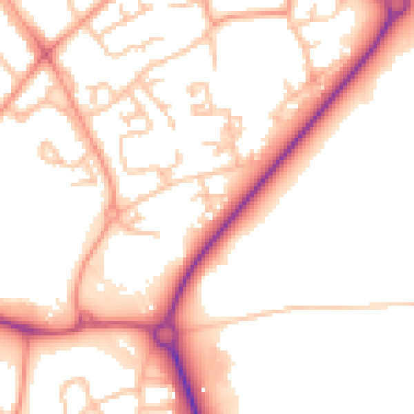
Daytime· 07:00 – 23:00
52.6dB

Night-time· 23:00 – 07:00
43.5dB