The Rise, Weavers Rise, Ketley Bank, Telford, TF2 0EX
About The Rise
The Rise is a property in Ketley Bank, Telford, Telford (TF2 0EX).
It changed hands recently, sold September 2025 for £240,000. Across 2022–2025, sale prices on this property compounded at 1.4% per year.
Know exactly what you're buying at The Rise
Before you offer, see what the listing won't tell you, the true value, the red flags and the full history.
Valuation
against the asking price
Risks
planning & flood
Sold prices
similar homes nearby
Trends
the local market
Energy performance
No EPC on record
This property doesn't have an Energy Performance Certificate yet. An EPC is required to sell or let — and unlocks our automated valuation.
Planning history
The Rise has no planning applications on record.
The full report still covers planning activity across the surrounding area.
Sales history & valuation
£240,000
Growth on file: 1.4% per year over 3 years.
Sales timeline
28 September 2025Most recent
£240,000
+4.3%over 3 years18 August 2022
£230,000
Median price across the last 5 sales in TF2 0EX: £265,000 (2025–2020).
Nearby sales in TF2 0EX
26 Weavers Rise, Ketley Bank, Telford, TF2 0EX
Sold Oct 2025
£265,00028 Weavers Rise, Ketley Bank, Telford, TF2 0EX
Sold Jun 2024
£315,00010a, Weavers Rise, Ketley Bank, Telford, TF2 0EX
Sold Mar 2023
£285,000The Weavers, Weavers Rise, Ketley Bank, Telford, TF2 0EX
Sold Jun 2022
£249,9951 Weavers Rise, Ketley Bank, Telford, TF2 0EX
Sold Jan 2020
£170,000
Everything we know about The Rise, in one report
What it's really worth, what could be wrong, and the planning, sales and area data in full.
- Am I paying too much?
- Is something wrong with it?
- Is the agent's story true?
- Will it hold its value?

Similar properties nearby
1 Fairview
TF2 0DF
1 Churchill Drive, Ketley Bank
TF2 0BT
1 Sunnyside Road, Ketley Bank
TF2 0DS
1 Greenacres, Ketley Bank
TF2 0DU
1 Hawthorne Close, Ketley Bank
TF2 0EB
1 Ryebank Road, Ketley Bank
TF2 0EF
1 East Road, Ketley Bank
TF2 0DD
1 Rothesay Grove, Ketley Bank
TF2 0EG
The neighbourhood at a glance
Rail-style transport is unusually close for this postcode.
Crime
7/mo
Steady year-on-year across the wider district.
Nearest stop
0.1 km
Ryebank Road — bus stop.
Closest school
0.7 km
Wombridge Primary School. 22 schools nearby.
Go deeper on the local area
The full report breaks down crime, transport links, schools and air quality in depth.
Road noise across the postcode
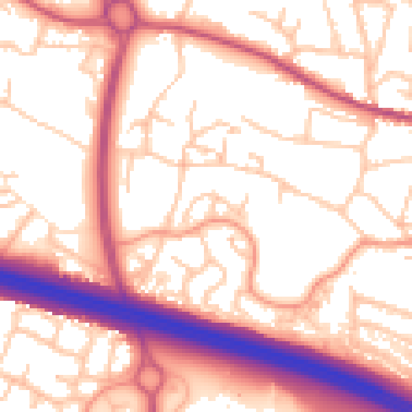
Daytime· 07:00 – 23:00
56.3dB

Night-time· 23:00 – 07:00
46.5dB