The Chimes, Mossey Green, Ketley Bank, Telford, TF2 0DL
About The Chimes
The Chimes is a detached house in Ketley Bank, Telford, Telford (TF2 0DL). It has a recorded floor area of 126 m² (around 1356 sq ft), construction records dating it to 1996-2002 and council tax band E. The latest certificate (August 2019) shows a C (score 73). The recommended improvements would push it to B (score 82).
2 planning records sit against the property, 0 approved, 1 refused. Today's modelled estimate of £367,000 is 22.3% above the 2020 sale price. Most recent transfer: December 2020 at £300,000.
Know exactly what you're buying at The Chimes
Before you offer, see what the listing won't tell you, the true value, the red flags and the full history.
Valuation
against the asking price
Risks
planning & flood
Sold prices
similar homes nearby
Trends
the local market
Energy performance
EPC Rating
Planning history
- Jan 2017OutbuildingFullIn report
Erection of a summerhouse (Retrospective)
- Agent
- Stadco,
Retrospective- Documents
- 12 docs on file
- Reference
- TWC/2016/1086
- Nov 2016OutbuildingFullIn report
Erection of a summerhouse (Retrospective)
Retrospective- Reference
- TA/2016/1699
What's in The Chimes, Mossey Green, Ketley Bank, Telford, TF2 0DL's planning history?
Refusals, disputes and full decisions on this property and nearby, in the report.
Sales history & valuation
The latest sale landed in the post-pandemic price surge — useful context when reading the figure.
£367,000
Modelled from EPC, postcode comparables.
£300,000
Recorded with HM Land Registry.
Sales timeline
8 December 2020Most recent
£300,000
Median price across the last 5 sales in TF2 0DL: £350,000 (2025–2021).
Nearby sales in TF2 0DL
Cherry Trees, Mossey Green, Ketley Bank, Telford, TF2 0DL
Sold Mar 2025
£350,000Wisteria House, Mossey Green, Ketley Bank, Telford, TF2 0DL
Sold May 2022
£325,000Rosewood House, Mossey Green, Ketley Bank, Telford, TF2 0DL
Sold Dec 2021
£335,000Lilac House, Mossey Green, Ketley Bank, Telford, TF2 0DL
Sold Sept 2021
£350,000Elderberry, Mossey Green, Ketley Bank, Telford, TF2 0DL
Sold Sept 2021
£350,000
Everything we know about The Chimes, in one report
What it's really worth, what could be wrong, and the planning, sales and area data in full.
- Am I paying too much?
- Is something wrong with it?
- Is the agent's story true?
- Will it hold its value?

Versus other Mossey Green homes
Habitable Rooms for The Chimes runs comfortably ahead of the street norm.
Price per m²
£2,381
Street avg £2,333
Floor Area
126 m²
Street avg 114 m²
Habitable Rooms
8 rooms
Street avg 5 rooms
CO₂ Emissions
4.0 t/year
Street avg 2.8 t/year
Similar properties nearby
1 Rothesay Grove, Ketley Bank
TF2 0EG
1 Ryebank Road, Ketley Bank
TF2 0EF
1 Fairview
TF2 0DF
1 Churchill Drive, Ketley Bank
TF2 0BT
1 Sunnyside Road, Ketley Bank
TF2 0DS
1 Greenacres, Ketley Bank
TF2 0DU
1 Hawthorne Close, Ketley Bank
TF2 0EB
1 East Road, Ketley Bank
TF2 0DD
The neighbourhood at a glance
Crime
7/mo
Steady year-on-year across the wider district.
Nearest stop
0.1 km
Ryebank Road — bus stop.
Closest school
0.8 km
Wombridge Primary School. 21 schools nearby.
Go deeper on the local area
The full report breaks down crime, transport links, schools and air quality in depth.
Road noise across the postcode
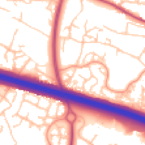
Daytime· 07:00 – 23:00
56.1dB

Night-time· 23:00 – 07:00
46.2dB