18 Arleston Lane, Arleston, Telford, TF1 2LT
About 18 Arleston Lane
18 Arleston Lane is a property in Arleston, Telford, Telford (TF1 2LT). It has council tax band B.
Energy performance
No EPC on record
This property doesn't have an Energy Performance Certificate yet. An EPC is required to sell or let — and unlocks our automated valuation.
Planning history
No planning applications are recorded against 18 Arleston Lane, Arleston, Telford, TF1 2LT. The full report also covers planning activity across the surrounding area.
Sales history & valuation
No sales recorded with HM Land Registry
That can mean the property has never traded since the registry began publishing in 1995, was a new build that hasn't been registered yet, or is held in the same hands long-term.
Median price across the last 5 sales in TF1 2LT: £147,000 (2024–2019).
Nearby sales in TF1 2LT
19 Arleston Lane, Arleston, Telford, TF1 2LT
Sold Dec 2024
£190,00011 Arleston Lane, Arleston, Telford, TF1 2LT
Sold Jun 2024
£200,00014 Arleston Lane, Arleston, Telford, TF1 2LT
Sold Oct 2021
£147,0007 Arleston Lane, Arleston, Telford, TF1 2LT
Sold May 2019
£135,50028 Arleston Lane, Arleston, Telford, TF1 2LT
Sold Feb 2019
£104,000
Similar properties nearby
1 Abbey Road, Arleston
TF1 2JG
1 Addison Road, Wellington
TF1 2BA
1 Arleston Avenue, Arleston
TF1 2PB
1 Arleston Court, Arleston
TF1 2NB
1 Arleston Lane, Arleston
TF1 2LT
1 Atlas Grove, Wellington
TF1 2BE
1 Avondale Road, Wellington
TF1 2HD
1 Baden Terrace, Orleton Lane, Wellington
TF1 2AE
The neighbourhood at a glance
Crime
5/mo
Steady year-on-year across the wider district.
Nearest stop
0.0 km
Toll Road — bus stop.
Closest school
0.5 km
Telford College. 17 schools nearby.
Road noise across the postcode
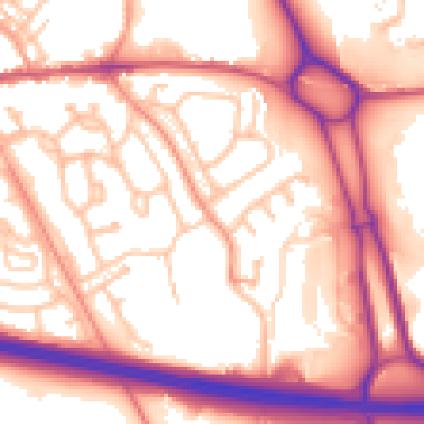
Daytime· 07:00 – 23:00
57.1dB
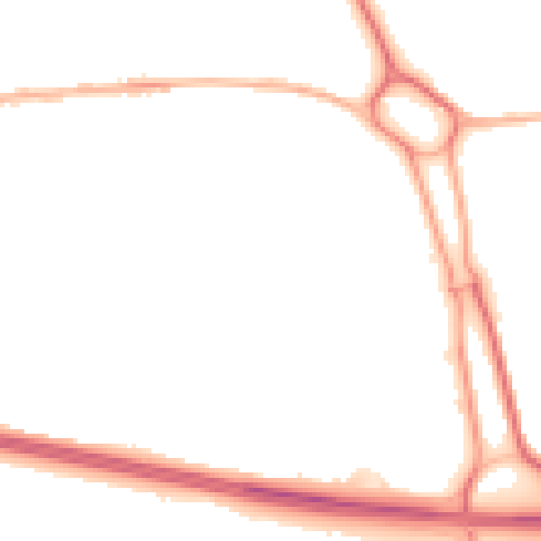
Night-time· 23:00 – 07:00
46.8dB