9 The Glebe, Atcham, Shrewsbury, SY5 6QL
About 9 The Glebe
9 The Glebe is a semi-detached house in Atcham, Shrewsbury, Shrewsbury (SY5 6QL). It has a recorded floor area of 99 m² (around 1066 sq ft), construction records dating it to 1950-1966 and council tax band C. The latest certificate (February 2025) shows an E (score 42), well below the UK norm with real room to improve. The recommended improvements would lift it to B (score 81), a 3-band jump. Main heating runs on oil.
Held since January 1998 — that's 28 years off the open market, well above the local norm. Only one transfer is on record with HM Land Registry, suggesting it has stayed in the same hands for a long time. At 99 m² the property is well over the postcode median (63 m² across 23 EPCs), placing it in the larger end of the local stock. It lags the bulk of the postcode on energy efficiency (less efficient than 87% of similar EPCs). Today's modelled estimate of £292,000 sits 407.8% above the 1998 sale of £57,500. On a £-per-square-foot basis, the last sale (£54/sq ft) was about 65.6% below the postcode norm. One planning record on file: an extension approved in 2012. Past consents include an extension, a porch and a conservatory, meaningful when judging how the property has evolved.
Everything you need to know about 9 The Glebe
The true value, the hidden risks and the full sale history, in one report.
30-day money-back guarantee

The data behind every report


Energy performance
9 The Glebe's carbon output runs well above what efficient homes in the postcode produce.
EPC Rating
Planning history
- Sept 2012PorchFullIn report
Erection of conservatory to rear and porch to front
ExtensionConservatory- Documents
- 10 docs on file
- Reference
- 12/03295/FUL
What's in 9 The Glebe, Atcham, Shrewsbury, SY5 6QL's planning history?
Refusals, disputes and full decisions on this property and nearby, in the report.
Sales history & valuation
9 The Glebe's modelled value sits at over four times its earliest registered sale price (1998).
£292,000
Modelled from EPC, postcode comparables.
£57,500
Recorded with HM Land Registry.
Sales timeline
23 January 1998Most recent
£57,500
Median price across the last 5 sales in SY5 6QL: £190,000 (2024–2014).
Nearby sales in SY5 6QL
8 The Glebe, Atcham, Shrewsbury, SY5 6QL
Sold Jun 2024
£310,00010 The Glebe, Atcham, Shrewsbury, SY5 6QL
Sold May 2022
£245,00014 The Glebe, Atcham, Shrewsbury, SY5 6QL
Sold Sept 2021
£190,0003 The Glebe, Atcham, Shrewsbury, SY5 6QL
Sold Jan 2015
£163,50022 The Glebe, Atcham, Shrewsbury, SY5 6QL
Sold Feb 2014
£85,000
Versus other The Glebe homes
Floor Area for 9 The Glebe runs comfortably ahead of the street norm.
Price per m²
£581
Street avg £2,048
Floor Area
99 m²
Street avg 84 m²
Habitable Rooms
6 rooms
Street avg 5 rooms
CO₂ Emissions
7.8 t/year
Street avg 4.7 t/year
Everything you need to know about 9 The Glebe
The true value, the hidden risks and the full sale history, in one report.
30-day money-back guarantee
The data behind every report
Similar properties nearby
1 Eagle Mews, Sheinton Road, Cressage
SY5 6BY
1 Ashdale Road, Cressage
SY5 6DT
1 Cressage House Cottages, Cressage
SY5 6EA
1 Home Farm Cottages, Home Farm Lane, Leighton
SY5 6RR
1 Cherry Arbor, Cressage
SY5 6DL
1 Betton Abbots Cottage, Betton Abbots, Cross Houses
SY5 6JD
1 Betton Cottages, Betton Strange, Cross Houses
SY5 6HZ
1, Dinchope, Atcham
SY5 6QW
The neighbourhood at a glance
Daytime road noise here sits well below conversation level — a quiet pocket of the postcode.
Crime
3/mo
Steady year-on-year across the wider district.
Go deeper on the local area
The full report breaks down crime, transport links, schools and air quality in depth.
Road noise across the postcode
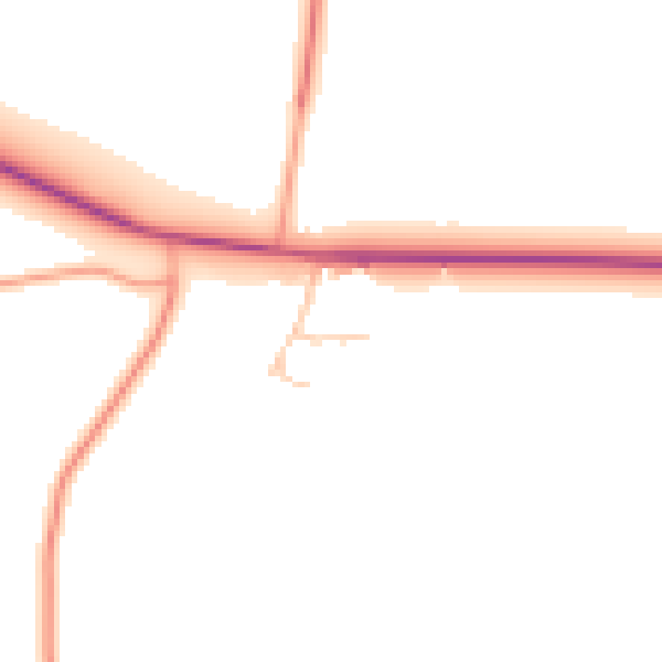
Daytime· 07:00 – 23:00
47.4dB

Night-time· 23:00 – 07:00
39.3dB