8 Kings Drive, Baschurch, Shrewsbury, SY4 2DG
About 8 Kings Drive
8 Kings Drive is a property in Baschurch, Shrewsbury, Shrewsbury (SY4 2DG). It has council tax band B.
Energy performance
No EPC on record
This property doesn't have an Energy Performance Certificate yet. An EPC is required to sell or let — and unlocks our automated valuation.
Planning history
No planning applications are recorded against 8 Kings Drive, Baschurch, Shrewsbury, SY4 2DG. The full report also covers planning activity across the surrounding area.
Sales history & valuation
No sales recorded with HM Land Registry
That can mean the property has never traded since the registry began publishing in 1995, was a new build that hasn't been registered yet, or is held in the same hands long-term.
Median price across the last 5 sales in SY4 2DG: £212,000 (2022–2020).
Nearby sales in SY4 2DG
30 Kings Drive, Baschurch, Shrewsbury, SY4 2DG
Sold May 2022
£395,0003 Kings Drive, Baschurch, Shrewsbury, SY4 2DG
Sold Feb 2022
£212,0005 Kings Drive, Baschurch, Shrewsbury, SY4 2DG
Sold Jun 2021
£210,0002 Kings Drive, Baschurch, Shrewsbury, SY4 2DG
Sold Jul 2020
£360,0009 Kings Drive, Baschurch, Shrewsbury, SY4 2DG
Sold Jun 2016
£293,000
Similar properties nearby
1 All Saints Way, Prescott, Baschurch
SY4 2FE
1 Badgers Way, Baschurch
SY4 2DT
1 Bassa Road, Baschurch
SY4 2GE
1 Belle Vue Cottages, Marton Road, Baschurch
SY4 2BL
1 Church View, Baschurch
SY4 2GD
1 Clarice Court, Fenemere, Baschurch
SY4 2JE
1 Croft Cottages, Walford, Baschurch
SY4 2HR
1 Curlew Meadows, Baschurch
SY4 2FA
The neighbourhood at a glance
Daytime road noise here sits well below conversation level — a quiet pocket of the postcode.
Crime
1/mo
Steady year-on-year across the wider district.
Closest school
0.4 km
Baschurch CofE Primary School. 2 schools nearby.
Road noise across the postcode
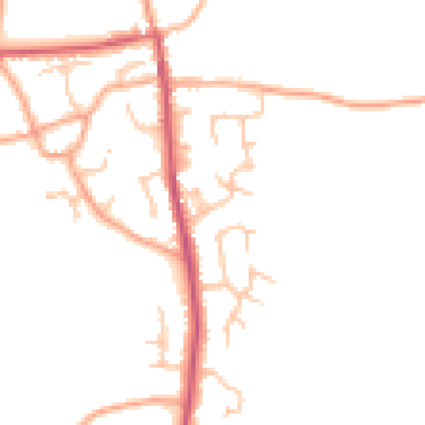
Daytime· 07:00 – 23:00
46.2dB

Night-time· 23:00 – 07:00
38.4dB