1 Queensway, Nesscliffe, Shrewsbury, SY4 1BD
About 1 Queensway
1 Queensway is a semi-detached house in Nesscliffe, Shrewsbury, Shrewsbury (SY4 1BD). It has a recorded floor area of 88 m² (around 952 sq ft), construction records dating it to 1930-1949 and council tax band B. The latest certificate (August 2009) shows a G (score 3), near the bottom of the EPC scale. The recommended improvements would push it to F (score 25). Main heating runs on lpg. The latest certificate is from August 2009, so improvements made since then won't be reflected.
Untraded for 28 years, with the last transfer in June 1998. Only one transfer is on record with HM Land Registry, suggesting it has stayed in the same hands for a long time. Today's modelled estimate of £221,000 sits 474.1% above the 1998 sale of £38,495. On a £-per-square-foot basis, the last sale (£40/sq ft) was about 67.8% below the postcode norm. One planning record on file: an extension approved in 2016. Past consents include an extension, meaningful when judging how the property has evolved. It lags the bulk of the postcode on energy efficiency (less efficient than 88% of similar EPCs).
Know exactly what you're buying at 1 Queensway
Before you offer, see what the listing won't tell you, the true value, the red flags and the full history.
Valuation
against the asking price
Risks
planning & flood
Sold prices
similar homes nearby
Trends
the local market
Energy performance
1 Queensway's carbon output runs well above what efficient homes in the postcode produce.
EPC Expired
This certificate is over 10 years old and is no longer valid.Expired 11 Aug 2019
EPC Rating
Planning history
- Feb 2016ExtensionFullIn report
Extension: Rear of property
Erection of two-storey gable extension and single storey rear extension
- Documents
- 5 docs on file
- Reference
- 15/05547/FUL
What's in 1 Queensway, Nesscliffe, Shrewsbury, SY4 1BD's planning history?
Refusals, disputes and full decisions on this property and nearby, in the report.
Sales history & valuation
Latest sale on 1 Queensway was the lowest on Land Registry record across the postcode.
£221,000
Modelled from EPC, postcode comparables.
£38,495
Recorded with HM Land Registry.
Sales timeline
21 June 1998Most recent
£38,495
Median price across the last 5 sales in SY4 1BD: £230,000 (2025–2021).
Nearby sales in SY4 1BD
The Pines, Queensway, Nesscliffe, Shrewsbury, SY4 1BD
Sold May 2025
£340,000The Sycamores, Queensway, Nesscliffe, Shrewsbury, SY4 1BD
Sold Feb 2023
£247,50010 Queensway, Nesscliffe, Shrewsbury, SY4 1BD
Sold Apr 2022
£221,25012 Queensway, Nesscliffe, Shrewsbury, SY4 1BD
Sold Sept 2021
£116,50016 Queensway, Nesscliffe, Shrewsbury, SY4 1BD
Sold Aug 2021
£230,000
Everything we know about 1 Queensway, in one report
What it's really worth, what could be wrong, and the planning, sales and area data in full.
- Am I paying too much?
- Is something wrong with it?
- Is the agent's story true?
- Will it hold its value?

Versus other Queensway homes
On price per m², 1 Queensway runs well behind the street norm.
Price per m²
£435
Street avg £1,909
Floor Area
88 m²
Street avg 91 m²
Habitable Rooms
4 rooms
Street avg 5 rooms
CO₂ Emissions
8.6 t/year
Street avg 5.8 t/year
Similar properties nearby
1 Bromleys Forge, Mytton, Montford Bridge
SY4 1EX
1, Elbridge, Ruyton Xi Towns
SY4 1JJ
1 Arundel Close, Ruyton Xi Towns
SY4 1LU
1 Chapel Cottages, Forton Heath, Montford Bridge
SY4 1EY
1 Folly Cottages, Shrawardine
SY4 1AN
1 Bank View, Holyhead Road, Nesscliffe
SY4 1AX
1 Alderton Cottage, Alderton, Montford Bridge
SY4 1AP
1 Country View, Alderton, Montford Bridge
SY4 1AP
The neighbourhood at a glance
Daytime road noise here sits well below conversation level — a quiet pocket of the postcode.
Crime
1/mo
Steady year-on-year across the wider district.
Closest school
1.1 km
St Andrew's Church of England Primary School and Nursery. 1 school nearby.
Go deeper on the local area
The full report breaks down crime, transport links, schools and air quality in depth.
Road noise across the postcode
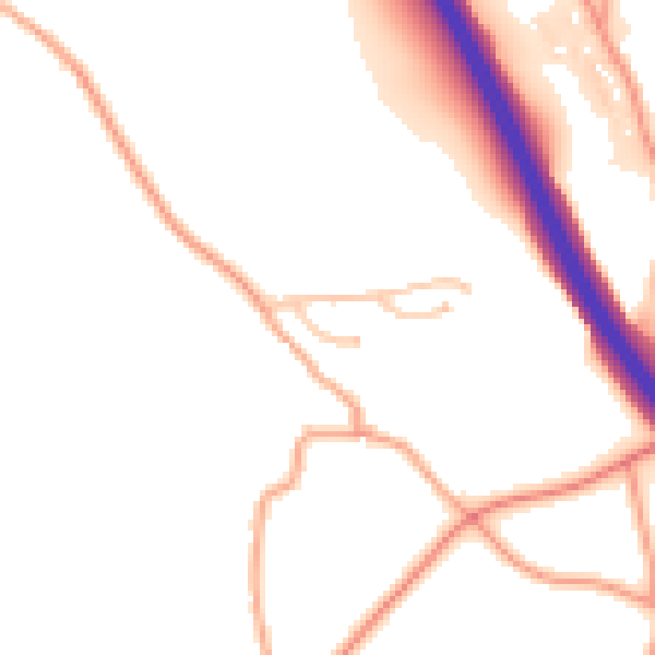
Daytime· 07:00 – 23:00
49.6dB

Night-time· 23:00 – 07:00
39.8dB