3 Cavell Drive, Shrewsbury, SY3 8GD
About 3 Cavell Drive
3 Cavell Drive is a semi-detached house in Shrewsbury (SY3 8GD). It has a recorded floor area of 111 m² (around 1195 sq ft), construction records dating it to 2012 onwards and council tax band D. The latest certificate (March 2023) shows a C (score 80), near the top of the C band. Earlier certificates rated it B (May 2011); the latest reading is one band lower. Between certificates, window efficiency dropped from Very Good to Good. The recommended improvements would push it to B (score 89).
At 111 m² the property is well over the postcode median (74 m² across 22 EPCs), placing it in the larger end of the local stock. It lags the bulk of the postcode on energy efficiency (less efficient than 73% of similar EPCs).
Everything you need to know about 3 Cavell Drive
The true value, the hidden risks and the full sale history, in one report.
30-day money-back guarantee

The data behind every report


Energy performance
EPC Rating
Property Improvements
Changes detected from historical EPC data
Heating controls changed
More low energy lighting installed
Planning history
3 Cavell Drive has no planning applications on record.
The full report still covers planning activity across the surrounding area.
Sales history & valuation
3 Cavell Drive has no Land Registry sales on file, suggesting it has stayed in the same hands since registration began.
£382,000
Modelled from EPC, postcode comparables.
No sales recorded with HM Land Registry
That can mean the property has never traded since the registry began publishing in 1995, was a new build that hasn't been registered yet, or is held in the same hands long-term.
Median price across the last 5 sales in SY3 8GD: £93,000 (2024–2022).
Nearby sales in SY3 8GD
Versus other Cavell Drive homes
On co₂ emissions, 3 Cavell Drive runs well behind the street norm.
EPC Rating
80 (C)
Street avg 83 (B)
Floor Area
111 m²
Street avg 94 m²
CO₂ Emissions
2.4 t/year
Street avg 1.5 t/year
Everything you need to know about 3 Cavell Drive
The true value, the hidden risks and the full sale history, in one report.
30-day money-back guarantee
The data behind every report
Similar properties nearby
The neighbourhood at a glance
Daytime road noise here sits well below conversation level — a quiet pocket of the postcode.
Crime
9/mo
Steady year-on-year across the wider district.
Nearest stop
0.3 km
Wenlock Edge House — bus stop.
Closest school
0.4 km
Bowbrook Primary School. 10 schools nearby.
Go deeper on the local area
The full report breaks down crime, transport links, schools and air quality in depth.
Road noise across the postcode
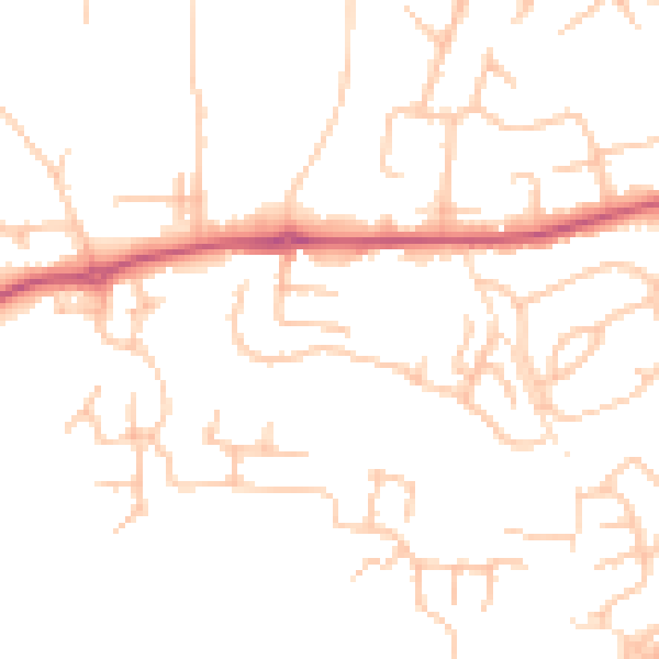
Daytime· 07:00 – 23:00
48.1dB

Night-time· 23:00 – 07:00
38.4dB