11 Cavell Drive, Shrewsbury, SY3 8GD
About 11 Cavell Drive
11 Cavell Drive is a four-bedroom mid-terrace house in Shrewsbury (SY3 8GD). It has a recorded floor area of 128 m² (around 1379 sq ft) and council tax band D. The latest certificate (February 2011) returns a high B (score 87), putting the home a stone's throw from an A rating. The latest certificate is from February 2011, so improvements made since then won't be reflected.
At 128 m² the property is well over the postcode median (74 m² across 22 EPCs), placing it in the larger end of the local stock. Today's modelled estimate of £379,000 sits 57.3% above the 2012 sale of £241,000. On the market in June 2012 and unlisted since — roughly 14 years.
What this property has
Inside
- Bedrooms4
- Bathrooms2
- Dining roomYes
- CloakroomYes
Outside
- Private gardenYes
Everything you need to know about 11 Cavell Drive
The true value, the hidden risks and the full sale history, in one report.
30-day money-back guarantee

The data behind every report


Energy performance
11 Cavell Drive's carbon output is low for the local stock.
EPC Expired
This certificate is over 10 years old and is no longer valid.Expired 17 Feb 2021
EPC Rating
Planning history
11 Cavell Drive has no planning applications on record.
The full report still covers planning activity across the surrounding area.
Sales history & valuation
11 Cavell Drive valuation sits well clear of the typical sold price in this postcode.
£379,000
Modelled from EPC, postcode comparables.
£241,000
Recorded with HM Land Registry.
Sales timeline
27 June 2012Most recent
£241,000
Median price across the last 5 sales in SY3 8GD: £93,000 (2024–2022).
Nearby sales in SY3 8GD
Versus other Cavell Drive homes
On epc rating, 11 Cavell Drive stands well clear of the street.
Price per m²
£1,881
Street avg £1,910
Floor Area
128 m²
Street avg 94 m²
CO₂ Emissions
1.5 t/year
Street avg 1.5 t/year
Years Held
14 years
Street avg 8 years
Everything you need to know about 11 Cavell Drive
The true value, the hidden risks and the full sale history, in one report.
30-day money-back guarantee
The data behind every report
Similar properties nearby
1 Bowbrook Grange
SY3 8XT
1 Capel Close
SY3 8BZ
1 Brackley Drive
SY3 8BX
1 Copthorne Crest
SY3 8RU
1 Copthorne Gardens
SY3 8TQ
1 Bright Row, Copthorne Road
SY3 8FL
1 Copperfield Drive
SY3 8ZD
1 Alma Street
SY3 8QL
The neighbourhood at a glance
Daytime road noise here sits well below conversation level — a quiet pocket of the postcode.
Crime
9/mo
Steady year-on-year across the wider district.
Nearest stop
0.3 km
Wenlock Edge House — bus stop.
Closest school
0.4 km
Bowbrook Primary School. 10 schools nearby.
Go deeper on the local area
The full report breaks down crime, transport links, schools and air quality in depth.
Road noise across the postcode
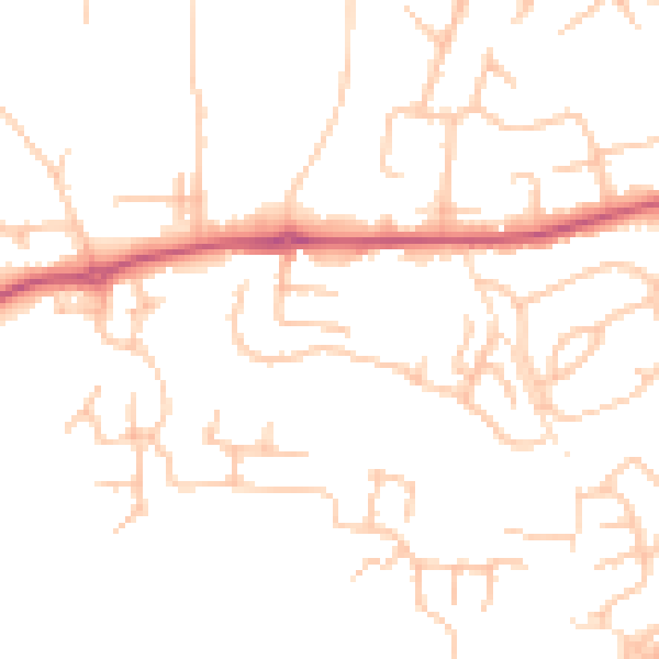
Daytime· 07:00 – 23:00
48.1dB

Night-time· 23:00 – 07:00
38.4dB