2 Bright Row, Copthorne Road, Shrewsbury, SY3 8FL
About 2 Bright Row
2 Bright Row is a semi-detached house in Shrewsbury (SY3 8FL). It has a recorded floor area of 73 m² (around 786 sq ft). The latest certificate (December 2019) returns a B (score 84), comfortably above the UK average. The recommended improvements would push it to A (score 97).
It changed hands recently, sold December 2024 for £290,000. At 73 m² it's 17.7% larger than the typical home in the postcode (62 m² median across 12 EPCs). Across 2020–2024, sale prices on this property compounded at 3.4% per year. On a £-per-square-foot basis, the last sale (£369/sq ft) was about 15.6% above the typical sold price in the postcode.
Everything you need to know about 2 Bright Row
The true value, the hidden risks and the full sale history, in one report.
30-day money-back guarantee

The data behind every report


Energy performance
2 Bright Row's carbon output is low for the local stock.
EPC Rating
Planning history
2 Bright Row has no planning applications on record.
The full report still covers planning activity across the surrounding area.
Sales history & valuation
2 Bright Row valuation sits well clear of the typical sold price in this postcode.
£317,000
Modelled from EPC, postcode comparables and a sale-price growth of 3.4% per year over 4 years.
£290,000
Growth on file: 3.4% per year over 4 years.
Sales timeline
13 December 2024Most recent
£290,000
+15.3%over 4 years24 September 2020
£251,500
Median price across the last 5 sales in SY3 8FL: £256,500 (2022–2020).
Nearby sales in SY3 8FL
5 Bright Row, Copthorne Road, Shrewsbury, SY3 8FL
Sold Jul 2022
£281,5007 Bright Row, Copthorne Road, Shrewsbury, SY3 8FL
Sold Nov 2020
£256,5006 Bright Row, Copthorne Road, Shrewsbury, SY3 8FL
Sold Sept 2020
£212,99512 Bright Row, Copthorne Road, Shrewsbury, SY3 8FL
Sold Sept 2020
£311,9959 Bright Row, Copthorne Road, Shrewsbury, SY3 8FL
Sold Aug 2020
£212,995
Versus other Bright Row homes
Price per m² for 2 Bright Row runs comfortably ahead of the street norm.
Price per m²
£3,973
Street avg £3,428
Floor Area
73 m²
Street avg 75 m²
CO₂ Emissions
1.1 t/year
Street avg 1.1 t/year
Years Held
1 years
Street avg 6 years
Everything you need to know about 2 Bright Row
The true value, the hidden risks and the full sale history, in one report.
30-day money-back guarantee
The data behind every report
Similar properties nearby
The neighbourhood at a glance
Daytime road noise here sits well below conversation level — a quiet pocket of the postcode.
Crime
9/mo
Steady year-on-year across the wider district.
Nearest stop
1.3 km
Bus Station Timetable — bus stop.
Closest school
0.3 km
Woodfield Infant School & Nursery. 14 schools nearby.
Go deeper on the local area
The full report breaks down crime, transport links, schools and air quality in depth.
Road noise across the postcode
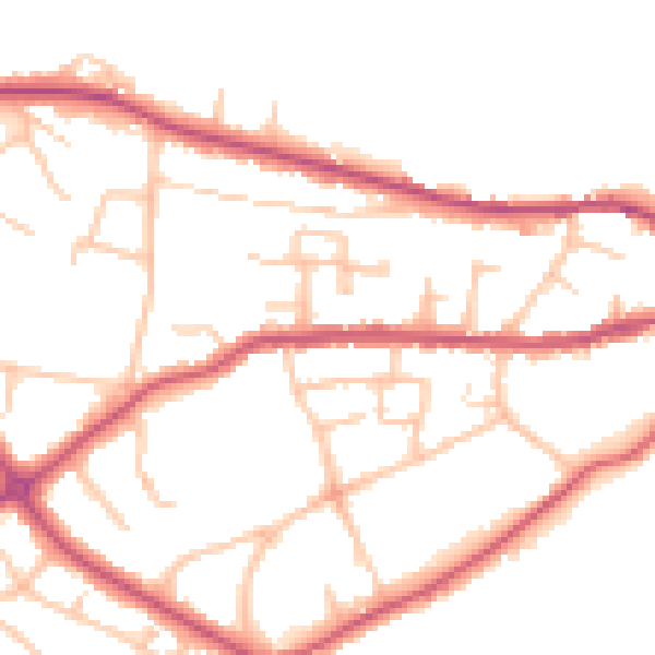
Daytime· 07:00 – 23:00
49.0dB

Night-time· 23:00 – 07:00
40.9dB