1 Felcourt Drive, Shrewsbury, SY3 5LB
About 1 Felcourt Drive
1 Felcourt Drive is a three-bedroom detached house in Shrewsbury (SY3 5LB). It has a recorded floor area of 114 m² (around 1227 sq ft), construction records dating it to 1983-1990 and council tax band D. The latest certificate (February 2022) shows a C (score 72). The recommended improvements would push it to B (score 84).
It hasn't traded since April 2000, a hold of 26 years that's notably long for the area. Only one transfer is on record with HM Land Registry, suggesting it has stayed in the same hands for a long time. Today's modelled estimate of £364,000 sits 271.4% above the 2000 sale of £98,000. On a £-per-square-foot basis, the last sale (£80/sq ft) was about 60.5% below the postcode norm. At 114 m² it's 18.8% larger than the typical home in the postcode (96 m² median across 5 EPCs).
What this property has
Inside
- Bedrooms3
- Bathrooms2
- Open-plan layoutYes
- Dining roomYes
- Utility roomYes
- CloakroomYes
Outside
- ParkingOff road
Everything you need to know about 1 Felcourt Drive
The true value, the hidden risks and the full sale history, in one report.
30-day money-back guarantee

The data behind every report


Energy performance
EPC Rating
Planning history
1 Felcourt Drive has no planning applications on record.
The full report still covers planning activity across the surrounding area.
Sales history & valuation
1 Felcourt Drive's estimated value is more than triple its earliest registered sale price (2000).
£364,000
Modelled from EPC, postcode comparables.
£98,000
Recorded with HM Land Registry.
Sales timeline
25 April 2000Most recent
£98,000
Median price across the last 5 sales in SY3 5LB: £262,000 (2021–2008).
Nearby sales in SY3 5LB
Versus other Felcourt Drive homes
1 Felcourt Drive is notably below the street on price per m².
Price per m²
£860
Street avg £2,450
Floor Area
114 m²
Street avg 93 m²
Habitable Rooms
6 rooms
Street avg 6 rooms
CO₂ Emissions
3.7 t/year
Street avg 3.7 t/year
Everything you need to know about 1 Felcourt Drive
The true value, the hidden risks and the full sale history, in one report.
30-day money-back guarantee
The data behind every report
Similar properties nearby
1 Corner Lane, Bicton Heath
SY3 5BZ
1 Coney Green, Bicton Heath
SY3 5AP
1 Cartwright Close, Bicton Heath
SY3 5FY
1 Douglas Way, Bicton Heath
SY3 5PB
1 Chapel Hill, Bicton Heath
SY3 5AT
1 Collingwood Drive, Bowbrook
SY3 5HP
1 Bradman Drive, Bicton Heath
SY3 5FZ
1 Fernlea Croft, Bicton Heath
SY3 5DS
The neighbourhood at a glance
Crime
9/mo
Steady year-on-year across the wider district.
Nearest stop
0.8 km
Wenlock Edge House — bus stop.
Closest school
0.6 km
Oxon CofE Primary School. 8 schools nearby.
Go deeper on the local area
The full report breaks down crime, transport links, schools and air quality in depth.
Road noise across the postcode
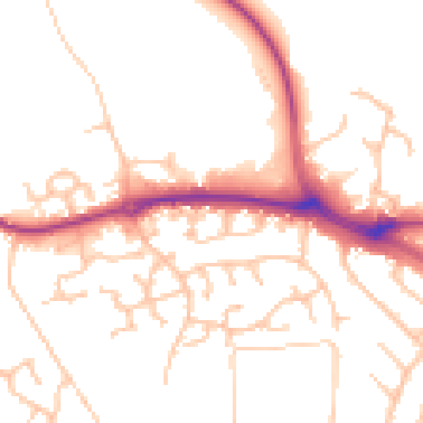
Daytime· 07:00 – 23:00
50.6dB

Night-time· 23:00 – 07:00
40.9dB