Skip to content

9 Alberbury Drive, Shrewsbury, SY1 4TA

Property type
Semi-detached
Bedrooms
3
Floor area
79 m²
850 sq ft
Energy rating
E
Score 54
Council tax
Band C
Tenure
Owner Occupied
Overview

About 9 Alberbury Drive

A plain-English summary derived from public records, EPC certificates, sold prices and local data.

9 Alberbury Drive is a three-bedroom semi-detached house in Shrewsbury (SY1 4TA). It has a recorded floor area of 79 m² (around 850 sq ft), construction records dating it to 1967-1975 and council tax band C. The latest certificate (September 2018) shows an E (score 54), well below the UK norm with real room to improve. The recommended improvements would lift it to B (score 85), a 3-band jump.

On energy efficiency it sits in the bottom 10% of properties in this postcode — significant headroom for improvement. On a £-per-square-foot basis, the last sale (£282/sq ft) was about 63.3% above the typical sold price in the postcode. Most recent transfer: May 2022 at £240,000. That sale was during the post-pandemic price surge, when transactions cleared materially above pre-2020 trend.

Specifications

What this property has

Pulled from EPC certificates, claim submissions and our property model. Empty categories are hidden — we only show what's known.

Inside

  • Bedrooms3
Before you decide

Everything you need to know about 9 Alberbury Drive

The true value, the hidden risks and the full sale history, in one report.

£14.99one-off

30-day money-back guarantee

Preview of the full property report

The data behind every report

  • HM Land Registry, source of sold price history
  • Department for Education, source of schools data
  • Police.uk, source of crime statistics
  • Department for Transport, source of stations and transport links
  • Environment Agency, source of flood risk data
  • Department for Environment, Food & Rural Affairs, source of road noise data
  • PlanIt, source of planning application records
Energy

Energy performance

Every EPC certificate filed against this property — current rating, recorded improvements, and where there's headroom to reach a higher band.

9 Alberbury Drive sits at the bottom of the postcode for energy efficiency — meaningful headroom to improve.

EPC Rating

A
B
C
D
E
E54
F
G
Main Heating
Gas
Main Fuel
Gas
Hot Water
Poor
Windows
Average
CO2 Emissions
5.0 t/year
Occupancy
Owner Occupied
Planning

Planning history

Applications and permits filed against 9 Alberbury Drive, Shrewsbury, SY1 4TA, sourced from the PlanIt planning register.

9 Alberbury Drive has no planning applications on record.

The full report still covers planning activity across the surrounding area.

Price

Sales history & valuation

Recorded transactions, our model's current estimate, and a quick read on what neighbouring properties have sold for.

The latest sale landed in the post-pandemic price surge — useful context when reading the figure.

Current estimate

£258,000

Modelled from EPC, postcode comparables.

See how we calculated this
Last sold (2022)

£240,000

Recorded with HM Land Registry.

Sales timeline

  1. 29 May 2022Most recent

    £240,000

Median price across the last 5 sales in SY1 4TA: £230,000 (2024–2023).

On the street

Versus other Alberbury Drive homes

Four headline reads against 43 similar houses on this street, drawn from the latest EPC and Land Registry data.

On epc rating, 9 Alberbury Drive runs well behind the street norm.

Price per m²

£3,038

Street avg £2,251

Strongly above

Floor Area

79 m²

Street avg 74 m²

Above

Habitable Rooms

4 rooms

Street avg 4 rooms

On par

CO₂ Emissions

5.0 t/year

Street avg 2.8 t/year

Strongly below
Before you decide

Everything you need to know about 9 Alberbury Drive

The true value, the hidden risks and the full sale history, in one report.

£14.99one-off

30-day money-back guarantee

Preview of the full property report

The data behind every report

  • HM Land Registry, source of sold price history
  • Department for Education, source of schools data
  • Police.uk, source of crime statistics
  • Department for Transport, source of stations and transport links
  • Environment Agency, source of flood risk data
  • Department for Environment, Food & Rural Affairs, source of road noise data
  • PlanIt, source of planning application records
Area

The neighbourhood at a glance

A condensed read of the local area. Each tile links through to the full breakdown on the Shrewsbury district page.

Reported crime in the wider district is trending notably upward year-on-year.

Crime

10/mo

Rising year-on-year across the wider district.

Closest school

0.3 km

Harlescott Junior School. 14 schools nearby.

Go deeper on the local area

The full report breaks down crime, transport links, schools and air quality in depth.

Noise

Road noise across the postcode

Modelled day and night-time noise levels around SY1 4TA from Defra's strategic mapping. The pin marks this postcode's centroid.
Daytime road noise heatmap for SY1 4TA

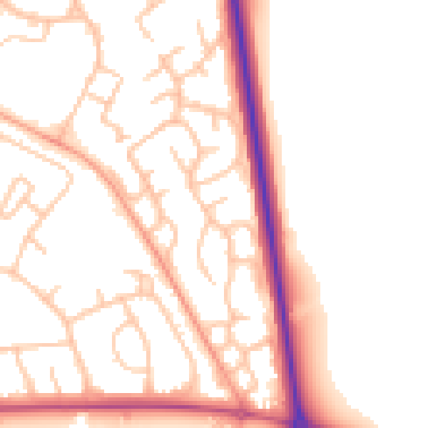
Daytime· 07:00 – 23:00

52.4dB

Low
Night-time road noise heatmap for SY1 4TA

Night-time· 23:00 – 07:00

44.3dB

Low
55 dB
60 dB
65 dB
70 dB
75 dB
80 dB
Defra Road Noise Strategic Mapping, Round 4
FAQ

Common questions

The questions buyers, sellers and homeowners most often ask about 9 Alberbury Drive, Shrewsbury, SY1 4TA. Each answer is also embedded as structured data for search engines.