6 Beachley, Shrewsbury, SY1 4SJ
About 6 Beachley
6 Beachley is a semi-detached house in Shrewsbury (SY1 4SJ). It has a recorded floor area of 56 m² (around 603 sq ft), construction records dating it to 1983-1990 and council tax band B. The latest certificate (June 2021) shows a C (score 70). The rating has held steady at C across 2 certificates since March 2011. Between certificates, window efficiency went from Average to Good and lighting went from Good to Very Good. The recommended improvements would push it to B (score 86).
Last changed hands 9 years ago, in February 2017. Across the public record there are 4 sales, relatively high churn for a single property. Today's modelled estimate of £207,000 is 42.8% above the 2017 sale price. On a £-per-square-foot basis, the last sale (£241/sq ft) was about 21.1% above the typical sold price in the postcode.
Everything you need to know about 6 Beachley
The true value, the hidden risks and the full sale history, in one report.
30-day money-back guarantee

The data behind every report


Energy performance
EPC Rating
Property Improvements
Changes detected from historical EPC data
Window efficiency improved
Roof insulation improved
More low energy lighting installed
Planning history
6 Beachley has no planning applications on record.
The full report still covers planning activity across the surrounding area.
Sales history & valuation
6 Beachley changed hands twice within eighteen months — unusual for the area.
£207,000
Modelled from EPC, postcode comparables and a sale-price growth of 0.5% per year over 11 years.
£145,000
Growth on file: 0.5% per year over 11 years.
Sales timeline
17 February 2017Most recent
£145,000
-3.3%16 December 2016
£150,000
+8.7%over 5 years17 August 2011
£138,000
9 May 2006
£137,500
Median price across the last 5 sales in SY1 4SJ: £145,000 (2024–2007).
Versus other Beachley homes
6 Beachley is notably below the street on habitable rooms.
Price per m²
£2,589
Street avg £2,742
Floor Area
56 m²
Street avg 62 m²
Habitable Rooms
3 rooms
Street avg 4 rooms
CO₂ Emissions
2.3 t/year
Street avg 2.7 t/year
Everything you need to know about 6 Beachley
The true value, the hidden risks and the full sale history, in one report.
30-day money-back guarantee
The data behind every report
Similar properties nearby
The neighbourhood at a glance
Reported crime in the wider district is trending notably upward year-on-year.
Crime
10/mo
Rising year-on-year across the wider district.
Nearest stop
2.0 km
Shrewsbury Rail Station — railway station.
Closest school
0.7 km
Sundorne Infant School and Nursery. 16 schools nearby.
Go deeper on the local area
The full report breaks down crime, transport links, schools and air quality in depth.
Road noise across the postcode
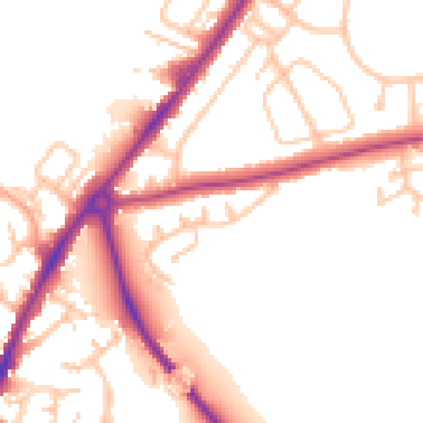
Daytime· 07:00 – 23:00
51.4dB

Night-time· 23:00 – 07:00
42.4dB