9 Claverley Road, Shrewsbury, SY1 4QR
About 9 Claverley Road
9 Claverley Road is a three-bedroom mid-terrace house in Shrewsbury (SY1 4QR). It has a recorded floor area of 77 m² (around 829 sq ft), construction records dating it to 1950-1966 and council tax band B. The latest certificate (April 2016) shows a C (score 70). The recommended improvements would push it to B (score 87). The latest certificate is from April 2016, so improvements made since then won't be reflected. Our model identifies extension potential, subject to local planning policy.
Across 2004–2018, sale prices on this property compounded at 2.3% per year. Today's modelled estimate of £188,000 is 37.9% above the 2018 sale price. On a £-per-square-foot basis, the last sale (£164/sq ft) was about 63.8% above the typical sold price in the postcode. Sold July 2018 for £136,297.
What this property has
Inside
- Bedrooms3
- Bathrooms1
- Dining roomYes
- CloakroomYes
Outside
- Private gardenSouth-facing
Building
- Heating systemGas fired
- RefurbishedYes
- Extension potentialPossible
Everything you need to know about 9 Claverley Road
The true value, the hidden risks and the full sale history, in one report.
30-day money-back guarantee

The data behind every report


Energy performance
EPC Expired
This certificate is over 10 years old and is no longer valid.Expired 11 Apr 2026
EPC Rating
Planning history
9 Claverley Road has no planning applications on record.
The full report still covers planning activity across the surrounding area.
Sales history & valuation
9 Claverley Road valuation sits well clear of the typical sold price in this postcode.
£188,000
Modelled from EPC, postcode comparables and a sale-price growth of 2.3% per year over 14 years.
£136,297
Growth on file: 2.3% per year over 14 years.
Sales timeline
12 July 2018Most recent
£136,297
+3.6%over 1 year24 July 2016
£131,500
+32.8%over 12 years22 June 2004
£99,000
Median price across the last 5 sales in SY1 4QR: £140,000 (2025–2004).
Versus other Claverley Road homes
Floor Area for 9 Claverley Road lags the street by a wide margin.
Price per m²
£1,770
Street avg £1,896
Floor Area
77 m²
Street avg 84 m²
Habitable Rooms
5 rooms
Street avg 5 rooms
CO₂ Emissions
2.8 t/year
Street avg 3.5 t/year
Everything you need to know about 9 Claverley Road
The true value, the hidden risks and the full sale history, in one report.
30-day money-back guarantee
The data behind every report
Similar properties nearby
The neighbourhood at a glance
Reported crime in the wider district is trending notably upward year-on-year.
Crime
10/mo
Rising year-on-year across the wider district.
Closest school
0.3 km
Harlescott Junior School. 14 schools nearby.
Go deeper on the local area
The full report breaks down crime, transport links, schools and air quality in depth.
Road noise across the postcode
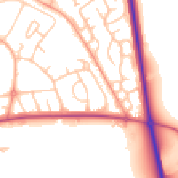
Daytime· 07:00 – 23:00
53.0dB

Night-time· 23:00 – 07:00
44.8dB