69a, Whitchurch Road, Shrewsbury, SY1 4EE
About 69a
69a is an end-of-terrace house in Shrewsbury (SY1 4EE). It has a recorded floor area of 47 m² (around 505 sq ft) and construction records dating it to 1930-1949. At 47 m² this is the smallest unit on EPC record across the building (47–84 m²). The building's EPC ratings span G to D, with this unit at the top. On EPC score it ranks first in the building (61 versus a worst of 4). The latest certificate (April 2010) shows a D (score 61), on the cusp of jumping into the C band. The recommended improvements would push it to C (score 75). The latest certificate is from April 2010, so improvements made since then won't be reflected.
Its energy rating outperforms most of the postcode (better than 80% of similar EPCs).
Everything you need to know about 69a
The true value, the hidden risks and the full sale history, in one report.
30-day money-back guarantee

The data behind every report


Energy performance
69a's EPC is over a decade old — improvements since won't be reflected.
EPC Expired
This certificate is over 10 years old and is no longer valid.Expired 19 Apr 2020
EPC Rating
Planning history
69a has no planning applications on record.
The full report still covers planning activity across the surrounding area.
Sales history & valuation
69a has no Land Registry sales on file, suggesting it has stayed in the same hands since registration began.
£142,000
Modelled from EPC, postcode comparables.
No sales recorded with HM Land Registry
That can mean the property has never traded since the registry began publishing in 1995, was a new build that hasn't been registered yet, or is held in the same hands long-term.
Median price across the last 1 sales in SY1 4EE: £250,000 (2021–2021).
Nearby sales in SY1 4EE
Versus other Whitchurch Road homes
On epc rating, 69a stands well clear of the street.
EPC Rating
61 (D)
Street avg 43 (E)
Floor Area
47 m²
Street avg 59 m²
CO₂ Emissions
3.1 t/year
Street avg 4.8 t/year
Habitable Rooms
2 rooms
Street avg 3 rooms
Everything you need to know about 69a
The true value, the hidden risks and the full sale history, in one report.
30-day money-back guarantee
The data behind every report
Similar properties nearby
The neighbourhood at a glance
Reported crime in the wider district is trending notably upward year-on-year.
Crime
10/mo
Rising year-on-year across the wider district.
Nearest stop
2.4 km
Shrewsbury Rail Station — railway station.
Closest school
0.5 km
Sundorne Infant School and Nursery. 14 schools nearby.
Go deeper on the local area
The full report breaks down crime, transport links, schools and air quality in depth.
Road noise across the postcode
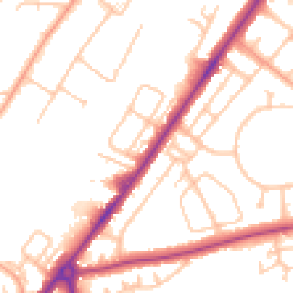
Daytime· 07:00 – 23:00
50.8dB

Night-time· 23:00 – 07:00
41.3dB