The Court, Flat A6, St Marys Place, Shrewsbury, SY1 1DY
About The Court
The Court is a two-bedroom detached house in Shrewsbury (SY1 1DY). It has a recorded floor area of 59 m² (around 635 sq ft) and construction records dating it to before 1900. At 59 m² this is the 9th smallest of 29 units on EPC record in The Court, where floor areas span 38–125 m². The building's EPC ratings span E to C across 29 units on file. The latest certificate (December 2019) shows a D (score 62), on the cusp of jumping into the C band. The recommended improvements would push it to C (score 77).
Sold November 2019 for £163,500. Across the public record there are 4 sales, relatively high churn for a single property. Across 1997–2019, sale prices on this property compounded at 4.6% per year. Today's modelled estimate of £200,000 is 22.3% above the 2019 sale price. On a £-per-square-foot basis, the last sale (£257/sq ft) was about 46.8% above the typical sold price in the postcode. At 59 m² it's 27.2% smaller than the typical home in the postcode (81 m² median across 28 EPCs).
What this property has
Inside
- Bedrooms2
- Bathrooms1
Outside
- ParkingOff street
Everything you need to know about The Court
The true value, the hidden risks and the full sale history, in one report.
30-day money-back guarantee

The data behind every report


Energy performance
EPC Rating
Planning history
The Court has no planning applications on record.
The full report still covers planning activity across the surrounding area.
Sales history & valuation
The Court has more than doubled in price since the earliest registered sale in 1997.
£200,000
Modelled from EPC, postcode comparables and a sale-price growth of 4.6% per year over 22 years.
£163,500
Growth on file: 4.6% per year over 22 years.
Sales timeline
28 November 2019Most recent
£163,500
26 July 2017
£163,500
+12.8%over 9 years7 December 2007
£145,000
+141.7%over 10 years28 July 1997
£60,000
Median price across the last 5 sales in SY1 1DY: £148,000 (2025–2021).
Nearby sales in SY1 1DY
The Court, Flat C7, St Marys Place, Shrewsbury, SY1 1DY
Sold Apr 2025
£102,000The Court, Flat C2, St Marys Place, Shrewsbury, SY1 1DY
Sold Sept 2024
£178,000The Court, Flat C3, St Marys Place, Shrewsbury, SY1 1DY
Sold Sept 2022
£148,000The Court, Flat B4, St Marys Place, Shrewsbury, SY1 1DY
Sold May 2021
£135,000The Court, Flat A5, St Marys Place, Shrewsbury, SY1 1DY
Sold Mar 2021
£160,000
Versus other St Marys Place homes
Price per m²
£2,771
Street avg £2,160
Floor Area
59 m²
Street avg 72 m²
Habitable Rooms
3 rooms
Street avg 3 rooms
CO₂ Emissions
3.1 t/year
Street avg 3.1 t/year
Everything you need to know about The Court
The true value, the hidden risks and the full sale history, in one report.
30-day money-back guarantee
The data behind every report
Similar properties nearby
1 St Johns Hill Apartments, 36 St Johns Hill
SY1 1JQ
1a, Apartment 1, Quarry Place
SY1 1JN
13a, Flat 2, The Square
SY1 1LH
13a, Flat 1, The Square
SY1 1LH
16 17, Flat 2, Butcher Row
SY1 1UW
1 2, Flat 1, Meadow Place
SY1 1PD
1a, Apartment 4, Quarry Place
SY1 1JN
1a, Apartment 2, Quarry Place
SY1 1JN
The neighbourhood at a glance
Rail-style transport is unusually close for this postcode.
Crime
10/mo
Rising year-on-year across the wider district.
Nearest stop
0.2 km
Bus Station Timetable — bus stop.
Closest school
0.6 km
Coleham Primary School. 19 schools nearby.
Go deeper on the local area
The full report breaks down crime, transport links, schools and air quality in depth.
Road noise across the postcode
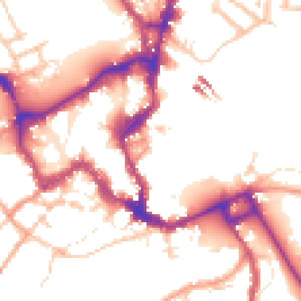
Daytime· 07:00 – 23:00
52.5dB

Night-time· 23:00 – 07:00
44.4dB