Are you a property professional?Get qualified leads from motivated homeowners.
Get started7 Battle Close, Merton, London, SW19 1AL
About 7 Battle Close
A plain-English summary derived from public records, EPC certificates, sold prices and local data.
7 Battle Close is a mid-terrace house in Merton, London, London (SW19 1AL). It has a recorded floor area of 78 m² (around 840 sq ft), construction records dating it to 1967-1975 and council tax band D. The latest certificate (January 2010) shows a C (score 71). The recommended improvements would push it to B (score 82). The latest certificate is from January 2010, so improvements made since then won't be reflected.
Energy performance
Every EPC certificate filed against this property — current rating, recorded improvements, and where there's headroom to reach a higher band.
7 Battle Close's EPC is over a decade old — improvements since won't be reflected.
EPC Expired
This certificate is over 10 years old and is no longer valid.Expired 25 Jan 2020
Sales history & valuation
Recorded transactions, our model's current estimate, and a quick read on what neighbouring properties have sold for.
7 Battle Close has no Land Registry sales on file, suggesting it has stayed in the same hands since registration began.
Current estimate
See how we calculated this£528,000
Modelled from EPC, postcode comparables.
No sales recorded with HM Land Registry
That can mean the property has never traded since the registry began publishing in 1995, was a new build that hasn't been registered yet, or is held in the same hands long-term.
Full property reportLaunch offer · 33% off
The complete analysis of 7 Battle Close, Merton, London, SW19 1AL
Everything we know about this property, compiled into one in-depth, downloadable report.
Detailed AI analysis
Versus other Battle Close homes
Four headline reads against 4 similar houses on this street, drawn from the latest EPC and Land Registry data.
7 Battle Close outperforms the street on floor area by a wide margin.
EPC Rating
71 (C)
Street avg 68 (D)
Floor Area
78 m²
Street avg 75 m²
CO₂ Emissions
3.1 t/year
Similar properties nearby
A handful of close matches in the same postcode area, ranked by likeness on bedrooms, type and floor area.
The neighbourhood at a glance
A condensed read of the local area. Each tile links through to the full breakdown on the London district page.
Rail-style transport is unusually close for this postcode.
Crime
6/mo
Rising year-on-year across the wider district.
Nearest stop
0.3 km
Milton Road (SW19) — bus stop.
Road noise across the postcode
Modelled day and night-time noise levels around SW19 1AL from Defra's strategic mapping. The pin marks this postcode's centroid.
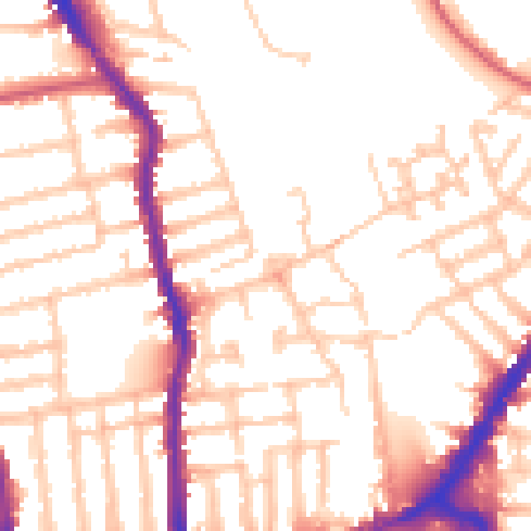
Daytime· 07:00 – 23:00
53.3dB

Everything within walking distance
Schools, transport stops and scenic spots near this property — 83 points of interest in total.
Common questions
The questions buyers, sellers and homeowners most often ask about 7 Battle Close, Merton, London, SW19 1AL. Each answer is also embedded as structured data for search engines.