Are you a property professional?Get qualified leads from motivated homeowners.
Get started8 Boscombe Road, Merton, London, SW17 9JL
2 planning records
About 8 Boscombe Road
A plain-English summary derived from public records, EPC certificates, sold prices and local data.
8 Boscombe Road is a three-bedroom mid-terrace house in Merton, London, London (SW17 9JL). It has a recorded floor area of 79 m² (around 847 sq ft), construction records dating it to before 1900 and council tax band D. The latest certificate (April 2011) shows an E (score 49), well below the UK norm with real room to improve. The recommended improvements would lift it to C (score 69), a 2-band jump. The latest certificate is from April 2011, so improvements made since then won't be reflected.
Sale prices here have outpaced London HPI: 6.9% per year against 0% for the wider region. Today's modelled estimate of £645,000 sits 108.1% above the 2011 sale of £310,000. 2 planning records sit against the property, 1 approved, 0 refused. Past consents include an extension, meaningful when judging how the property has evolved. It lags the bulk of the postcode on energy efficiency (less efficient than 86% of similar EPCs). On the market in October 2011 and unlisted since — roughly 15 years.
What this property has
Pulled from EPC certificates, claim submissions and our property model. Empty categories are hidden — we only show what's known.
Inside
- Bedrooms3
- Dining roomYes
- Utility roomYes
- CloakroomYes
Energy performance
Every EPC certificate filed against this property — current rating, recorded improvements, and where there's headroom to reach a higher band.
Recommended upgrades on file would lift this property by multiple EPC bands.
EPC Expired
This certificate is over 10 years old and is no longer valid.Expired 04 Apr 2021
Planning history
Applications and permits filed against 8 Boscombe Road, Merton, London, SW17 9JL, sourced from the PlanIt planning register.
8 Boscombe Road has an approved single-storey rear extension on the planning record.
- Dec 2018ExtensionOutlinePrior Approval Not Required
Extension: Single storey · Rear of property
APPLICATION TO DETERMINE WHETHER PRIOR APPROVAL IS REQUIRED IN RESPECT OF THE PROPOSED ERECTION OF A SINGLE STOREY REAR EXTENSION WITH THE FOLLOWING DIMENSIONS: EXTENDS BEYOND THE REAR WALL OF THE ORIGINAL DWELLINGHOUSE BY 3.07 METRES THE MAXIMUM HEIGHT OF THE ENLARGED PART OF THE DWELLINGHOUSE WILL BE 3.87 METRES THE HEIGHT OF THE EAVES OF THE ENLARGED PART OF THE DWELLINGHOUSE WILL BE 2.715 METRES
Sales history & valuation
Recorded transactions, our model's current estimate, and a quick read on what neighbouring properties have sold for.
8 Boscombe Road has more than doubled in price since the earliest registered sale in 1999.
Current estimate
See how we calculated this£645,000
Modelled from EPC, postcode comparables and a sale-price growth of 6.9% per year over 12 years.
Last sold (2011)
£310,000
Growth on file: 6.9% per year over 12 years.
Sales timeline
Full property reportLaunch offer · 33% off
The complete analysis of 8 Boscombe Road, Merton, London, SW17 9JL
Everything we know about this property, compiled into one in-depth, downloadable report.
Detailed AI analysis
Versus other Boscombe Road homes
Four headline reads against 36 similar houses on this street, drawn from the latest EPC and Land Registry data.
On co₂ emissions, 8 Boscombe Road runs well behind the street norm.
Price per m²
£3,938
Street avg £5,840
Floor Area
79 m²
Street avg 87 m²
Habitable Rooms
4 rooms
Street avg 5 rooms
Similar properties nearby
A handful of close matches in the same postcode area, ranked by likeness on bedrooms, type and floor area.
The neighbourhood at a glance
A condensed read of the local area. Each tile links through to the full breakdown on the London district page.
Rail-style transport is unusually close for this postcode.
Crime
8/mo
Rising year-on-year across the wider district.
Nearest stop
0.1 km
Mitcham Road / Tooting Station — bus stop.
Road noise across the postcode
Modelled day and night-time noise levels around SW17 9JL from Defra's strategic mapping. The pin marks this postcode's centroid.
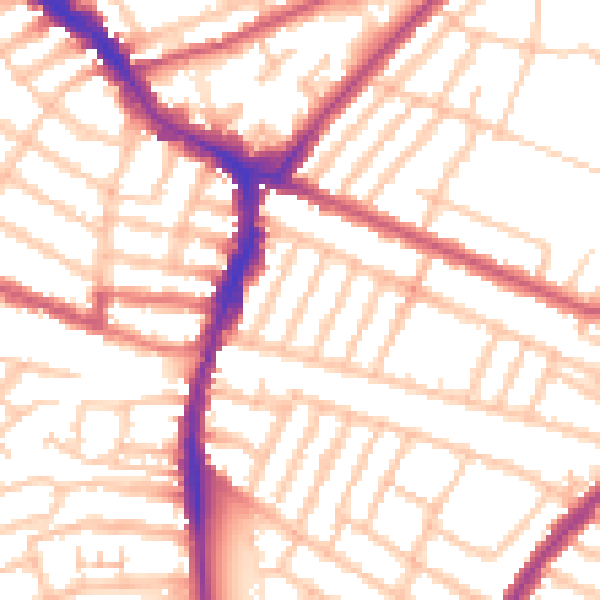
Daytime· 07:00 – 23:00
53.6dB

Everything within walking distance
Schools, transport stops and scenic spots near this property — 88 points of interest in total.
Common questions
The questions buyers, sellers and homeowners most often ask about 8 Boscombe Road, Merton, London, SW17 9JL. Each answer is also embedded as structured data for search engines.