Anglo American Laundry, Flat 9, Burmester Road, Wandsworth, London, SW17 0JS
About Anglo American Laundry
Anglo American Laundry is a property in Wandsworth, London, London (SW17 0JS). It has council tax band D.
Held since August 2003 — that's 23 years off the open market, well above the local norm.
Everything you need to know about Anglo American Laundry
The true value, the hidden risks and the full sale history, in one report.
30-day money-back guarantee

The data behind every report


Energy performance
No EPC on record
This property doesn't have an Energy Performance Certificate yet. An EPC is required to sell or let — and unlocks our automated valuation.
Planning history
Anglo American Laundry has no planning applications on record.
Notable planning nearby
15applications of note in the surrounding area
We flagged 2 things worth checking at Anglo American Laundry
Independent checks surfaced things a buyer would want to understand before offering. The report explains each one in full, with the underlying data and what to ask.
- Signs of HMO activity in the area
- Larger development activity nearby
30-day money-back guarantee
Sales history & valuation
£300,000
Recorded with HM Land Registry.
Sales timeline
20 August 2003Most recent
£300,000
Median price across the last 5 sales in SW17 0JS: £663,000 (2024–2019).
Nearby sales in SW17 0JS
Anglo American Laundry, Flat 4, Burmester Road, Wandsworth, London, SW17 0JS
Sold May 2024
£720,000Anglo American Laundry, Flat 2, Burmester Road, Wandsworth, London, SW17 0JS
Sold Jun 2023
£631,000Anglo American Laundry, Flat 5, Burmester Road, Wandsworth, London, SW17 0JS
Sold Mar 2023
£730,000Anglo American Laundry, Flat 3, Burmester Road, Wandsworth, London, SW17 0JS
Sold Jul 2022
£585,000Anglo American Laundry, Flat 8, Burmester Road, Wandsworth, London, SW17 0JS
Sold Aug 2015
£600,000
Everything you need to know about Anglo American Laundry
The true value, the hidden risks and the full sale history, in one report.
30-day money-back guarantee
The data behind every report
Similar properties nearby
14 16, Flat 15, Tooting High Street
SW17 0RG
13a, Flat 1, Coverton Road
SW17 0QW
106 108, Flat 6, Tooting High Street
SW17 0RR
106 108, Flat 1, Tooting High Street
SW17 0RR
106 108, Flat 2, Tooting High Street
SW17 0RR
13a, Flat 2, Coverton Road
SW17 0QW
106 108, Flat 7, Tooting High Street
SW17 0RR
14 16, Flat 1, Tooting High Street
SW17 0RG
The neighbourhood at a glance
Rail-style transport is unusually close for this postcode.
Crime
8/mo
Rising year-on-year across the wider district.
Nearest stop
0.2 km
Burntwood Lane — bus stop.
Closest school
0.4 km
Burntwood School. 58 schools nearby.
Go deeper on the local area
The full report breaks down crime, transport links, schools and air quality in depth.
Road noise across the postcode
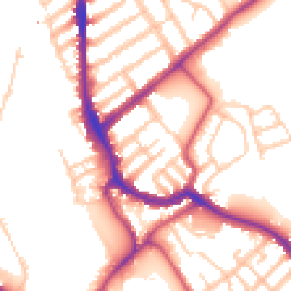
Daytime· 07:00 – 23:00
53.0dB

Night-time· 23:00 – 07:00
43.6dB