15 Queen Street, Audley, Stoke On Trent, ST7 8HD
About 15 Queen Street
15 Queen Street is a semi-detached house in Audley, Stoke-On-Trent, Stoke On Trent (ST7 8HD). It has a recorded floor area of 70 m² (around 753 sq ft), construction records dating it to 1950-1966 and council tax band A. The latest certificate (December 2015) shows a D (score 66), on the cusp of jumping into the C band. The recommended improvements would lift it to A (score 112), a 3-band jump. The latest certificate is from December 2015, so improvements made since then won't be reflected.
Across 2018–2021, sale prices on this property compounded at 5.9% per year. On a £-per-square-foot basis, the last sale (£202/sq ft) was about 65.9% above the typical sold price in the postcode. Most recent transfer: November 2021 at £152,300. That sale was during the post-pandemic price surge, when transactions cleared materially above pre-2020 trend.
Everything you need to know about 15 Queen Street
The true value, the hidden risks and the full sale history, in one report.
30-day money-back guarantee

The data behind every report


Energy performance
Recommended upgrades on file would lift this property by multiple EPC bands.
EPC Expired
This certificate is over 10 years old and is no longer valid.Expired 02 Dec 2025
EPC Rating
Planning history
15 Queen Street has no planning applications on record.
The full report still covers planning activity across the surrounding area.
Sales history & valuation
Latest sale on 15 Queen Street was the highest on Land Registry record across the postcode.
£148,000
Modelled from EPC, postcode comparables and a sale-price growth of 5.9% per year over 4 years.
£152,300
Growth on file: 5.9% per year over 4 years.
Sales timeline
12 November 2021Most recent
£152,300
+24.3%over 3 years19 January 2018
£122,500
Median price across the last 5 sales in ST7 8HD: £110,000 (2024–2017).
Nearby sales in ST7 8HD
22 Queen Street, Audley, Stoke On Trent, ST7 8HD
Sold Jul 2024
£145,00028 Queen Street, Audley, Stoke On Trent, ST7 8HD
Sold Mar 2024
£110,00020 Queen Street, Audley, Stoke On Trent, ST7 8HD
Sold Sept 2021
£128,00030 Queen Street, Audley, Stoke On Trent, ST7 8HD
Sold Jan 2019
£107,5009 Queen Street, Audley, Stoke On Trent, ST7 8HD
Sold Apr 2014
£71,000
Versus other Queen Street homes
On price per m², 15 Queen Street stands well clear of the street.
Price per m²
£2,176
Street avg £1,596
Floor Area
70 m²
Street avg 60 m²
Habitable Rooms
4 rooms
Street avg 3 rooms
CO₂ Emissions
3.2 t/year
Street avg 3.4 t/year
Everything you need to know about 15 Queen Street
The true value, the hidden risks and the full sale history, in one report.
30-day money-back guarantee
The data behind every report
Similar properties nearby
1 Church Street, Wood Lane
ST7 8PE
1 Cheshire View, Bignall End
ST7 8NY
1 Burgess Court, Halmer End
ST7 8AY
1 3, High Street, Wood Lane
ST7 8PB
1 Cedar Crescent, Bignall End
ST7 8LE
1 Dean View, Audley
ST7 8EA
1 Corbett Cottages, Station Road, Halmer End
ST7 8AR
1 Barleyfields, Audley
ST7 8ED
The neighbourhood at a glance
Daytime road noise here sits well below conversation level — a quiet pocket of the postcode.
Crime
3/mo
Steady year-on-year across the wider district.
Nearest stop
0.0 km
Princess Avenue — bus stop.
Closest school
1.0 km
Sir Thomas Boughey Academy. 4 schools nearby.
Go deeper on the local area
The full report breaks down crime, transport links, schools and air quality in depth.
Road noise across the postcode
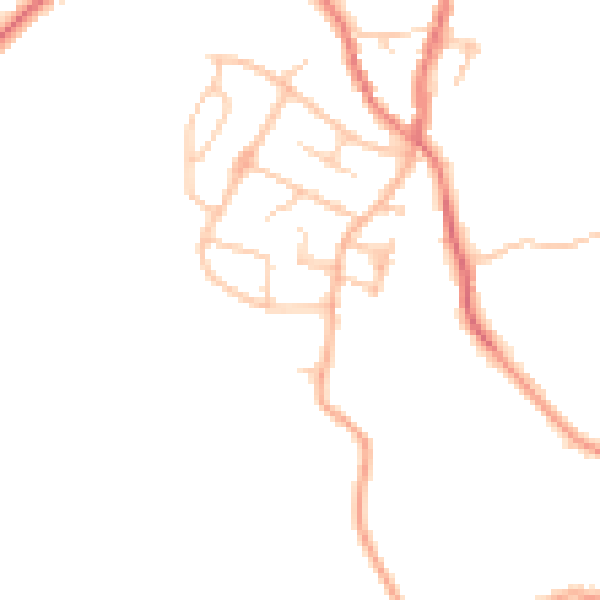
Daytime· 07:00 – 23:00
45.7dB

Night-time· 23:00 – 07:00
37.6dB