7 Charnwood, Kidsgrove, Stoke On Trent, ST7 4UY
About 7 Charnwood
7 Charnwood is a property in Kidsgrove, Stoke-On-Trent, Stoke On Trent (ST7 4UY). It has council tax band D.
Held since September 2002 — that's 24 years off the open market, well above the local norm. One planning record on file: an extension approved in 2011. Past consents include an extension, meaningful when judging how the property has evolved. Across 1999–2002, sale prices on this property compounded at 12.1% per year.
Everything you need to know about 7 Charnwood
The true value, the hidden risks and the full sale history, in one report.
30-day money-back guarantee

The data behind every report


Energy performance
No EPC on record
This property doesn't have an Energy Performance Certificate yet. An EPC is required to sell or let — and unlocks our automated valuation.
Planning history
7 Charnwood has an approved single-storey side extension on the planning record.
- Dec 2011ExtensionFullIn report
Extension: Single storey · Side of property
First floor side extension
- Documents
- 8 docs on file
- Reference
- 11/00503/FUL
What's in 7 Charnwood, Kidsgrove, Stoke On Trent, ST7 4UY's planning history?
Refusals, disputes and full decisions on this property and nearby, in the report.
Sales history & valuation
£105,000
Growth on file: 12.1% per year over 3 years.
Sales timeline
19 September 2002Most recent
£105,000
+45.8%over 3 years27 May 1999
£72,000
Median price across the last 5 sales in ST7 4UY: £199,500 (2023–1997).
Nearby sales in ST7 4UY
2 Charnwood, Kidsgrove, Stoke On Trent, ST7 4UY
Sold Sept 2023
£332,5008 Charnwood, Kidsgrove, Stoke On Trent, ST7 4UY
Sold Oct 2022
£280,0003 Charnwood, Kidsgrove, Stoke On Trent, ST7 4UY
Sold Jul 2008
£199,5004 Charnwood, Kidsgrove, Stoke On Trent, ST7 4UY
Sold Jun 2002
£110,0006 Charnwood, Kidsgrove, Stoke On Trent, ST7 4UY
Sold Oct 1997
£80,000
Everything you need to know about 7 Charnwood
The true value, the hidden risks and the full sale history, in one report.
30-day money-back guarantee
The data behind every report
Similar properties nearby
1 Aspen Close, Harriseahead
ST7 4HD
1 Birches Way, Kidsgrove
ST7 4XU
1 Astbury Close, Kidsgrove
ST7 4TY
1 Agora Gardens, Newchapel
ST7 4QE
1 Beeston View, Kidsgrove
ST7 4TB
1 Brieryhurst Road, Kidsgrove
ST7 4RZ
1 Burnwood Grove, Kidsgrove
ST7 4XY
1 Birch Valley Road, Kidsgrove
ST7 4GN
The neighbourhood at a glance
Rail-style transport is unusually close for this postcode.
Crime
3/mo
Steady year-on-year across the wider district.
Nearest stop
0.3 km
Stonebank Road — bus stop.
Closest school
0.5 km
St Thomas' CofE Primary Academy. 19 schools nearby.
Go deeper on the local area
The full report breaks down crime, transport links, schools and air quality in depth.
Road noise across the postcode
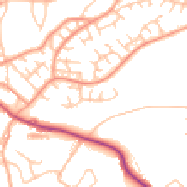
Daytime· 07:00 – 23:00
50.4dB

Night-time· 23:00 – 07:00
39.9dB