1 Ashmead Mews, Alsager, Stoke On Trent, ST7 2XW
About 1 Ashmead Mews
1 Ashmead Mews is a property in Alsager, Stoke-On-Trent, Stoke On Trent (ST7 2XW). It has council tax band E.
Energy performance
No EPC on record
This property doesn't have an Energy Performance Certificate yet. An EPC is required to sell or let — and unlocks our automated valuation.
Planning history
No planning applications are recorded against 1 Ashmead Mews, Alsager, Stoke On Trent, ST7 2XW. The full report also covers planning activity across the surrounding area.
Sales history & valuation
No sales recorded with HM Land Registry
That can mean the property has never traded since the registry began publishing in 1995, was a new build that hasn't been registered yet, or is held in the same hands long-term.
Median price across the last 4 sales in ST7 2XW: £234,975 (2024–2000).
Similar properties nearby
1 Alfred Moseley Place, Alsager
ST7 2ZJ
1 Arley Close, Alsager
ST7 2XA
1 Arrowsmith Drive, Alsager
ST7 2JQ
1 Arthur Maddock Road, Alsager
ST7 2ZT
1 Ashdale Close, Alsager
ST7 2EN
1 Ashenhurst Road, Alsager
ST7 2QA
1 Ashmead Close, Alsager
ST7 2XT
1 Ashmores Lane, Alsager
ST7 2LN
The neighbourhood at a glance
Rail-style transport is unusually close for this postcode.
Crime
3/mo
Steady year-on-year across the wider district.
Nearest stop
0.1 km
Alsager Rail Station — railway station.
Closest school
0.5 km
Excalibur Primary School. 9 schools nearby.
Road noise across the postcode
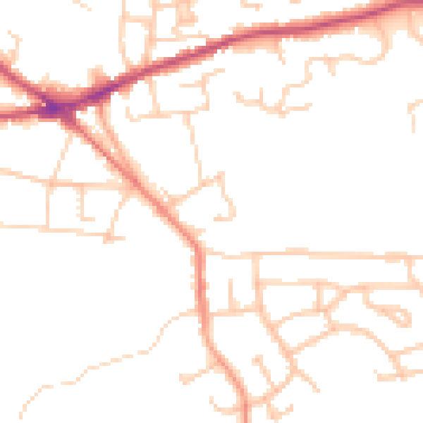
Daytime· 07:00 – 23:00
48.4dB

Night-time· 23:00 – 07:00
39.0dB