2 Band Drive, Alsager, Stoke On Trent, ST7 2WD
About 2 Band Drive
2 Band Drive is an end-of-terrace house in Alsager, Stoke-On-Trent, Stoke On Trent (ST7 2WD). It has a recorded floor area of 51 m² (around 549 sq ft). The latest certificate (March 2018) returns a B (score 82), comfortably above the UK average. The recommended improvements would push it to A (score 97).
Today's modelled estimate of £165,000 sits 105% above the 2018 sale of £80,500. Last sale on file: £80,500 in June 2018.
Everything you need to know about 2 Band Drive
The true value, the hidden risks and the full sale history, in one report.
30-day money-back guarantee

The data behind every report


Energy performance
2 Band Drive's carbon output is low for the local stock.
EPC Rating
Planning history
2 Band Drive has no planning applications on record.
Notable planning nearby
1applications of note in the surrounding area
We flagged 1 thing worth checking at 2 Band Drive
Independent checks surfaced things a buyer would want to understand before offering. The report explains each one in full, with the underlying data and what to ask.
- Larger development activity nearby
30-day money-back guarantee
Sales history & valuation
2 Band Drive valuation sits well clear of the typical sold price in this postcode.
£165,000
Modelled from EPC, postcode comparables.
£80,500
Recorded with HM Land Registry.
Sales timeline
7 June 2018Most recent
£80,500
Median price across the last 5 sales in ST7 2WD: £80,500 (2023–2018).
Nearby sales in ST7 2WD
3 Band Drive, Alsager, Stoke On Trent, ST7 2WD
Sold Nov 2023
£95,0001 Band Drive, Alsager, Stoke On Trent, ST7 2WD
Sold Dec 2018
£209,9958 Band Drive, Alsager, Stoke On Trent, ST7 2WD
Sold Jun 2018
£80,5006 Band Drive, Alsager, Stoke On Trent, ST7 2WD
Sold Jun 2018
£80,5004 Band Drive, Alsager, Stoke On Trent, ST7 2WD
Sold Jun 2018
£80,500
Versus other Band Drive homes
Price per m²
£1,578
Street avg £1,829
Floor Area
51 m²
Street avg 55 m²
CO₂ Emissions
1.0 t/year
Street avg 1.0 t/year
Years Held
8 years
Street avg 7 years
Everything you need to know about 2 Band Drive
The true value, the hidden risks and the full sale history, in one report.
30-day money-back guarantee
The data behind every report
Similar properties nearby
1 Arrowsmith Drive, Alsager
ST7 2JQ
1 Ashmores Lane, Alsager
ST7 2LN
1 Bankside Court, Alsager
ST7 2DN
1 Barley Croft, Alsager
ST7 2QU
1 Bailey Court, Alsager
ST7 2YH
1 Bainbridge Street, Alsager
ST7 2FH
1 Beeston Drive, Alsager
ST7 2XE
1 Barn Field Way, Alsager
ST7 2GZ
The neighbourhood at a glance
Daytime road noise here sits well below conversation level — a quiet pocket of the postcode.
Crime
3/mo
Steady year-on-year across the wider district.
Nearest stop
0.3 km
Hassall Road — bus stop.
Closest school
0.5 km
St Gabriel's Catholic Primary School. 6 schools nearby.
Go deeper on the local area
The full report breaks down crime, transport links, schools and air quality in depth.
Road noise across the postcode
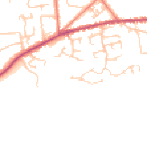
Daytime· 07:00 – 23:00
48.5dB

Night-time· 23:00 – 07:00
40.5dB